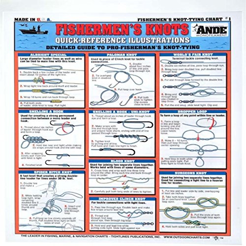
Understanding Map Detail and Bathymetry
The most critical factor when selecting a Tightline map is the depth contour resolution. General maps might show broad depth changes, but an effective fishing map needs to highlight precise bathymetric lines. Look for maps that emphasize subtle changes in bottom topography, such as drop-offs, ledges, and underwater ridges. These features are the primary habitats for predatory fish. When reviewing a map, ensure the contour intervals are fine enough to distinguish between a minor slope and a significant structure that could hold a school of fish. High-resolution bathymetry allows you to plan your approach with confidence, knowing exactly where the water deepens or shallows.
Target Species and Habitat Specificity
Not all maps are created equal. Some are designed for general navigation, while others are laser-focused on specific fishing environments. Before purchasing, determine if the map is optimized for your target species. For example, a map designed for saltwater flats will prioritize shallow water vegetation patterns and tidal channels, whereas an offshore map will focus on sea mounts and deep-water trenches. If you are hunting for specific structures like sunken timber, rock piles, or artificial reefs, ensure the map's cartography explicitly highlights these features. A map that is too broad may miss the very micro-habitats that define a 'honey hole.'
How you intend to use the map in the field should dictate the format you choose. If you are navigating a small kayak or wading through shallows, a waterproof, tear-resistant material is non-negotiable. Salt spray, humidity, and accidental splashes are inevitable on the water. Conversely, if you prefer planning your trips from a desktop or a lounge chair, high-quality digital or printed versions that allow for close-up inspection of fine details are preferable. Consider the scale of the map as well. A large-scale map provides more detail for a specific lake or bay, while a small-scale map offers a broader overview of a coastline or region. For most tactical anglers, the sweet spot is a medium-scale map that provides enough local detail to find structure without losing the context of the surrounding water body.
Navigational Context and Landmarks
A great fishing map does more than just show depth. It provides context. Look for maps that include essential surface landmarks, such as bridge pilings, docks, channel markers, and shoreline vegetation. These visual cues are vital for orienting yourself once you are on the water. If you can identify a specific bend in a creek or a particular pier on the map, you can much more easily triangulate your position and return to a productive spot. The integration of terrestrial landmarks with underwater topography is what separates a professional angling tool from a basic nautical chart.