#TOP1
Navigating the wilderness requires more than just a smartphone app. It demands a dedicated, rugged, and reliable piece of hardware capable of performing when cellular signals vanish and battery levels drop. A handheld GPS unit is a specialized tool designed to provide precise positioning, track logging, and topographical context in environments ranging from dense forests to high-altitude alpine ridges. Unlike consumer electronics, these devices are built to withstand extreme temperature fluctuations, moisture, and physical impact, making them essential gear for backcountry hikers, hunters, and search-and-rescue professionals.
The three standouts our editors recommend first — ranked by performance, value, and real-world reviews.
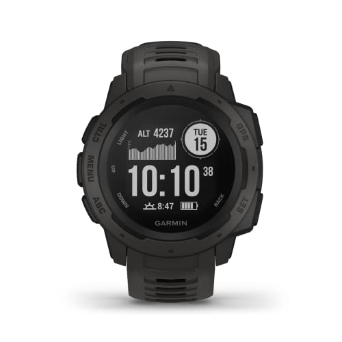
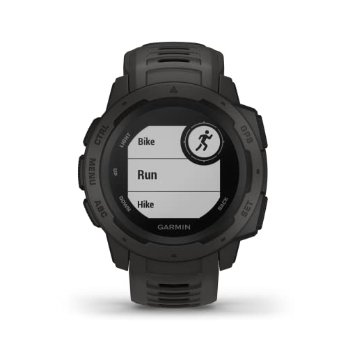


Garmin 010-02064-00 Instinct, Rugged Outdoor Watch with GPS, Features Glonass and Galileo, Heart Rate Monitoring and 3-Axis Compass, Graphite
| SELLER | SELLER SCORE | AMAZON FULFILLED | PRIME | FREE SHIPPING |
|---|---|---|---|---|
| Amazon.com | 9.68 | Yes | Yes | Yes |
You are halfway up a granite ridge in a sudden downpour, and the last thing you need is a device that freezes or fails. The Garmin Instinct is built specifically for these punishing moments, boasting U.S. Military standard 810G durability for thermal, shock, and water resistance up to 100 meters. I found the navigation incredibly reliable because it doesn't just rely on GPS. It pulls from Glonass and Galileo to keep you on track in dense terrain. The trackback feature is a lifesaver for finding your way back to camp, and the battery life is impressive, lasting up to 14 days in smartwatch mode. Between the heart rate monitoring and the built-in 3-axis compass, it feels like a complete survival tool strapped to your wrist.
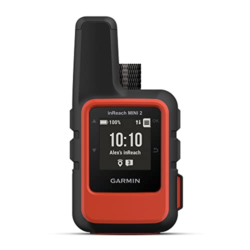


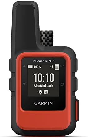
Garmin inReach Mini 2, Lightweight and Compact Satellite Communicator, Hiking Handheld, Orange
| SELLER | SELLER SCORE | AMAZON FULFILLED | PRIME | FREE SHIPPING |
|---|---|---|---|---|
| Global Telesat Comms | 5.89 | Yes | Yes | Yes |
The Garmin inReach Mini 2 redefines backcountry safety by packing global two-way messaging and interactive SOS capabilities into an incredibly lightweight, pocket-sized frame. I found the TracBack routing feature particularly indispensable for navigating back to a starting point when visibility drops or trails vanish. Because it features a digital compass, you get reliable heading information even while standing perfectly still. The integration with the Garmin Explore app makes trip planning and topographical mapping feel seamless on your smartphone. With a battery that lasts up to 14 days in 10-minute tracking mode, this device offers the long-term reliability essential for multi-day treks. It is a rugged, water-resistant lifeline that ensures your coordinates and location are always shared with loved ones via MapShare.
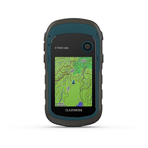


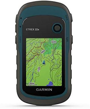
Garmin eTrex 22x, Rugged Handheld GPS Navigator, Black/Navy
| SELLER | SELLER SCORE | AMAZON FULFILLED | PRIME | FREE SHIPPING |
|---|---|---|---|---|
| Amazon.com | 9.68 | Yes | Yes | Yes |
The Garmin eTrex 22x stands as a reliable cornerstone for outdoor enthusiasts who need dependable navigation without the fragility of a smartphone. This rugged handheld device excels in the field thanks to its dual GPS and GLONASS satellite support, which ensures you stay on track even when the canopy gets thick or the terrain gets tough. The 2.2-inch color display remains surprisingly readable under direct sunlight, making it easy to follow the preloaded Topo Active maps through winding trails or cycling routes. With 8 GB of internal memory and an expandable micro SD slot, you have plenty of room for extra topographical data. Plus, running on two AA batteries provides a solid 25 hours of tracking, so you won't be left searching for a power outlet in the middle of the woods.
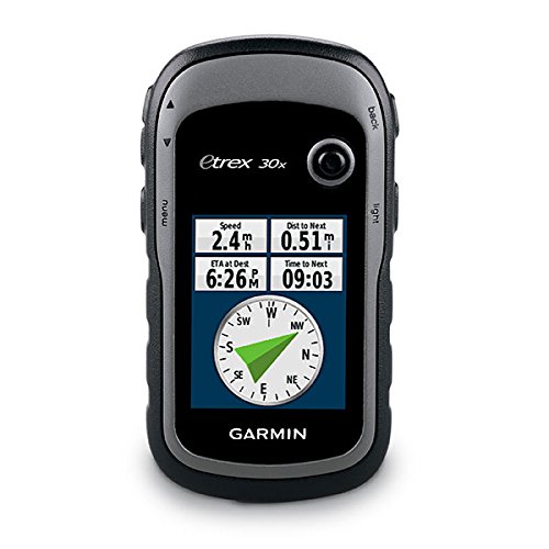

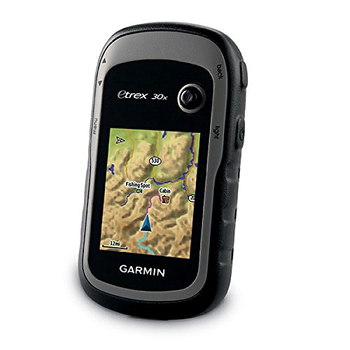
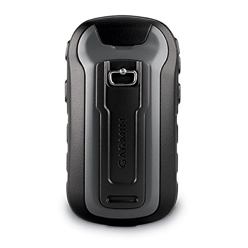
Garmin eTrex 30x, Handheld GPS Navigator with 3-axis Compass, Enhanced Memory and Resolution, 2.2-inch Color Display, Water Resistant
| SELLER | SELLER SCORE | AMAZON FULFILLED | PRIME | FREE SHIPPING |
|---|---|---|---|---|
| 1st Class Gaming | 6.26 | No | No | No |
Can you really trust a smartphone to guide you through deep wilderness where signals die? The Garmin eTrex 30x is built specifically for those moments when reliability is the only thing that matters. I found the 2.2-inch sunlight-readable color display incredibly sharp, making it easy to read even under direct midday glare. What sets this unit apart is the sensor suite. The 3-axis tilt-compensated compass and barometric altimeter provide a level of precision that standard handhelds lack. With 3.7 GB of internal memory and a microSD slot, you can pack in specialized maps like TOPO 24K or BlueChart g2 without running out of room. It even lets you wirelessly beam waypoints and tracks to your other compatible Garmin gear, which is a total game-changer for group treks.
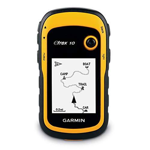


Garmin eTrex 10 Worldwide Handheld GPS Navigator
| SELLER | SELLER SCORE | AMAZON FULFILLED | PRIME | FREE SHIPPING |
|---|---|---|---|---|
| Amazon.com | 9.68 | Yes | Yes | Yes |
Deep in a dense forest canopy where cell signals go to die, the Garmin eTrex 10 becomes your most reliable companion. This rugged little navigator is built for the grit of real-world exploration, featuring a 2.2 inch monochrome display that remains readable even when things get messy. I found the dual support for GLONASS and WAAS incredibly helpful for maintaining a fast, reliable signal in tricky terrain. It handles splashes and heavy rain with ease thanks to its IPX7 waterproof rating, making it a perfect tool for paperless geocaching. You can even track high and low elevation points to better estimate your trek's distance and time. Running on two AA batteries for up to 20 hours, it’s a dependable, low-maintenance piece of gear for any serious hiker.

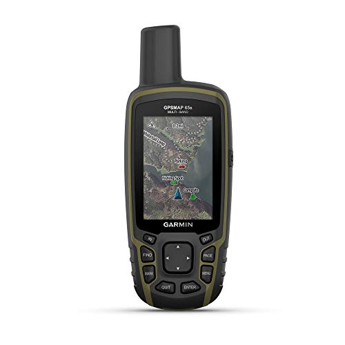

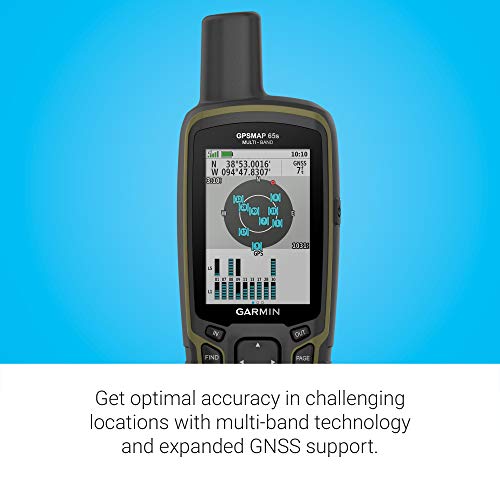

Garmin GPSMAP 65s, Button-Operated Handheld with Altimeter and Compass, Expanded Satellite Support and Multi-Band Technology, 2.6" Color Display
| SELLER | SELLER SCORE | AMAZON FULFILLED | PRIME | FREE SHIPPING |
|---|---|---|---|---|
| Amazon.com | 9.68 | Yes | Yes | Yes |
Signal loss in deep canyons and dense forest canopies is a navigator's worst nightmare, but the Garmin GPSMAP 65s tackles this uncertainty head-on. I found that the multi-band technology and expanded GNSS support provide a level of precision that standard handhelds often miss when the terrain gets difficult. The 2.6-inch color display remains remarkably clear even under direct sunlight, making it easy to follow routable TopoActive maps without squinting. Since it uses physical buttons rather than a touchscreen, it stays reliable in wet or muddy conditions. You also get a built-in 3-axis compass and barometric altimeter for reliable orientation, and the ability to sync everything via the Garmin Explore app makes managing your waypoints back at camp feel seamless.
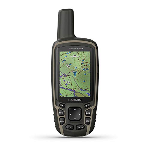
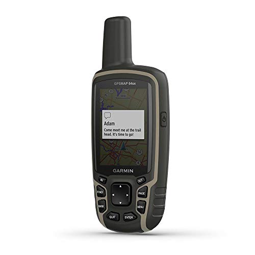


Garmin GPSMAP 64sx, Handheld GPS with Altimeter and Compass, Preloaded With TopoActive Maps, Black/Tan
| SELLER | SELLER SCORE | AMAZON FULFILLED | PRIME | FREE SHIPPING |
|---|---|---|---|---|
| GPS City | 9.86 | Yes | Yes | Yes |
After weeks of use in unpredictable backcountry conditions, the Garmin GPSMAP 64sx has proven to be an indispensable tool for serious navigation. The rugged, water-resistant chassis feels incredibly durable, and the button-operated interface is a lifesaver when your hands are cold or wet. I was particularly impressed by the quad helix antenna. It maintains a high-sensitivity connection using GPS, GLONASS, and Galileo even under heavy tree canopy. The 2.6-inch color display remains perfectly sunlight-readable during midday treks, while the preloaded TopoActive maps make finding routable trails for hiking or cycling seamless. With a barometric altimeter and 3-axis compass, you get a complete picture of your environment, backed by a solid 16-hour battery life that lasts through a full day of exploration.
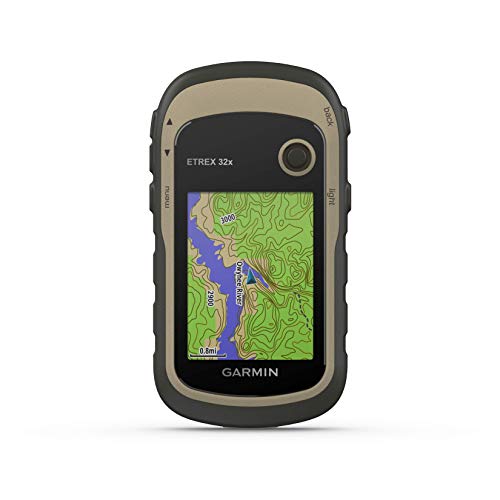


Garmin eTrex 32x, Rugged Handheld GPS Navigator
| SELLER | SELLER SCORE | AMAZON FULFILLED | PRIME | FREE SHIPPING |
|---|---|---|---|---|
| Amazon.com | 9.68 | Yes | Yes | Yes |
The Garmin eTrex 32x stands as a dependable cornerstone in the handheld GPS category, offering a rugged build that won't quit when the terrain gets tough. I found the 2.2-inch sunlight-readable color display to be a massive help when navigating bright trails, and the preloaded Topo Active maps make finding routable roads and hiking paths feel intuitive right out of the box. What really sets this version apart is the inclusion of a 3-axis compass and barometric altimeter, which provide much-needed precision in deep canyons or dense woods. Because it tracks both GPS and GLONASS satellite systems, you get much better reliability in challenging environments. With 8 GB of internal memory and a micro SD slot, you have plenty of room to expand your digital library for long-distance expeditions.
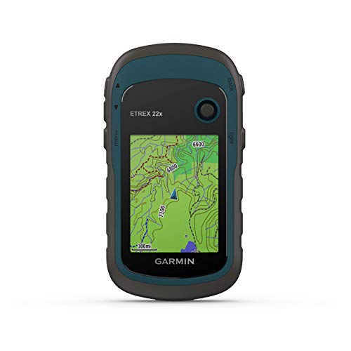


Garmin eTrex 22x, Rugged Handheld GPS Navigator (Renewed)
| SELLER | SELLER SCORE | AMAZON FULFILLED | PRIME | FREE SHIPPING |
|---|---|---|---|---|
| No | No | No |
The sunlight-readable color display on this Garmin unit immediately cuts through the glare of a midday trek, making it easy to read even in the harshest conditions. I found that having Topo Active maps preloaded takes much of the guesswork out of navigating complex trails or cycling routes. Because it tracks both GPS and GLONASS satellite systems, you get a level of reliability in deep canyons or heavy tree cover that standard devices often struggle with. The 8 GB of internal memory gives you plenty of room for essential data, but the micro SD card slot is the real winner for anyone looking to expand their mapping library. It is a rugged, dependable companion that feels built for the actual elements rather than just a casual walk.
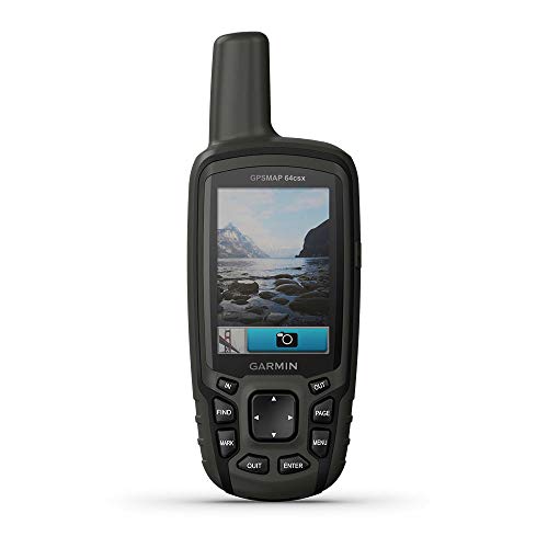


Garmin GPSMAP 64csx, Handheld GPS with Altimeter, Compass and 8 MP Camera, Preloaded with TopoActive Maps
| SELLER | SELLER SCORE | AMAZON FULFILLED | PRIME | FREE SHIPPING |
|---|---|---|---|---|
| Tech-Boutique | 9.91 | Yes | Yes | Yes |
Navigating deep wilderness where smartphone signals vanish requires a device that prioritizes signal strength and durability over sleek aesthetics. The Garmin GPSMAP 64csx is built specifically for those high-stakes environments, utilizing a quad helix antenna and multi-GNSS support to keep you on track via GPS, GLONASS, and Galileo. I found the sunlight-readable 2.6-inch display and rugged, button-operated interface incredibly reliable when hands were wet or gloves were on. Beyond just location tracking, the integrated 8-megapixel autofocus camera lets you geotag your surroundings, which is a massive plus for documenting trail milestones. With preloaded TopoActive maps and a barometric altimeter, this handheld unit feels like a complete survival toolkit that lasts up to 16 hours on a single charge.
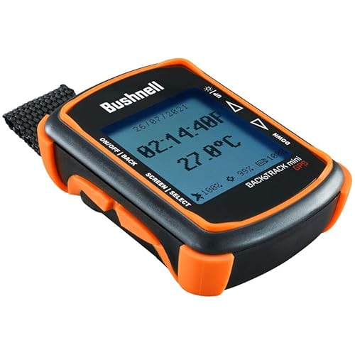
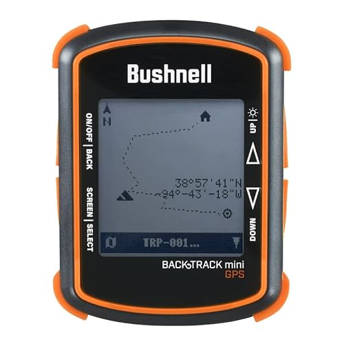


Bushnell BackTrack Mini GPS Navigation, Portable Waterproof GPS for Hiking Hunting and Backpacking
| SELLER | SELLER SCORE | AMAZON FULFILLED | PRIME | FREE SHIPPING |
|---|---|---|---|---|
| I Live Outdoors | 9.67 | No | No | No |
You are miles deep into a dense forest canopy when your smartphone suddenly loses signal and the battery hits zero. This is exactly where the Bushnell BackTrack Mini proves its worth as a dedicated lifeline for backcountry navigation. Unlike a phone, this rugged little device is built to withstand the elements and offers a reliable 35-hour battery life that won't quit on you mid-hike. I found the large, glove-friendly buttons incredibly intuitive for quick adjustments when the weather turns cold. Beyond just finding your way back to the trailhead, it tracks elevation, barometric pressure, and even provides sunrise and moonset times. It is a compact, waterproof essential that syncs your waypoints via Bluetooth, ensuring you never feel truly lost.

Dakota Digital GPS Interface Speed Sensor / Compass Sender / BIM Module GPS-50-2
| SELLER | SELLER SCORE | AMAZON FULFILLED | PRIME | FREE SHIPPING |
|---|---|---|---|---|
| Lionparts_Powersports | 9.80 | Yes | Yes | Yes |
Custom dashboard enthusiasts demand precision that traditional mechanical sensors simply cannot match, and this Dakota Digital GPS interface delivers exactly that. By integrating this module with your VFD3, VHX, or HDX system, you bypass the headache of complex mechanical linkages in favor of a single data connection cable. It is a massive upgrade for anyone wanting seamless access to accurate speed, compass positioning, and altimeter data without a cluttered dash. I was particularly impressed by how easily it tucks away thanks to its compact footprint, making installation much less intrusive than older tech. Plus, the automatic clock syncing is a small but brilliant touch that keeps your gauges perfectly updated. It is a robust, reliable solution for modernizing a classic cockpit.

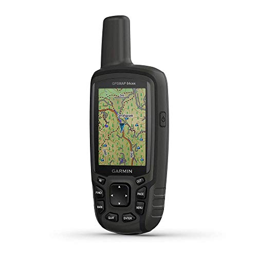

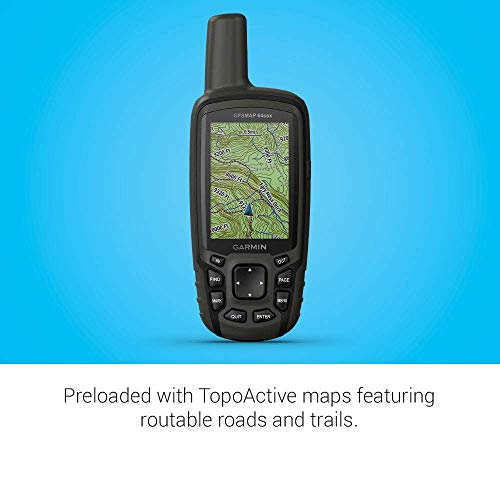

Garmin GPSMAP 64csx, Handheld GPS with Altimeter, Compass and 8 MP Camera, Preloaded with TopoActive Maps (Renewed)
| SELLER | SELLER SCORE | AMAZON FULFILLED | PRIME | FREE SHIPPING |
|---|---|---|---|---|
| Tech-Boutique | 9.91 | Yes | Yes | Yes |
The Garmin GPSMAP 64csx stands as a rugged powerhouse for backcountry explorers who refuse to compromise on navigation accuracy. I found the quad helix antenna and multi-GNSS support—covering GPS, GLONASS, and Galileo—to be absolute game-changers when tracking routes through dense canopy or deep canyons. The sunlight-readable 2.6" display remains clear even in harsh midday glare, while the button-operated interface ensures you can still navigate while wearing gloves. What sets this model apart is the 8-megapixel autofocus camera, which allows you to geotag your discoveries instantly. Whether you are cycling or hiking, the preloaded TopoActive maps provide the routable roads and trails you need to stay on course. With 16 hours of battery life in GPS mode, it is a reliable companion for long days in the wild.

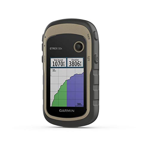


Garmin eTrex 32x, Rugged Handheld GPS Navigator (Renewed)
| SELLER | SELLER SCORE | AMAZON FULFILLED | PRIME | FREE SHIPPING |
|---|---|---|---|---|
| iSave Renewed | 9.55 | Yes | Yes | Yes |
Can you really trust your direction when the trail disappears under heavy canopy or deep canyons? The Garmin eTrex 32x is built specifically for those high-stakes moments where standard smartphone GPS often fails. By utilizing both GPS and GLONASS satellite systems, this handheld device maintains a lock in much more challenging environments than typical consumer electronics. I found the 2.2-inch sunlight-readable color display incredibly helpful for checking routes mid-hike without squinting against the glare. Since it comes preloaded with Topo Active maps featuring routable roads and trails, you can hit the ground running for cycling or hiking adventures immediately. Plus, with 8 GB of internal memory and a micro SD slot, you have plenty of room to expand your digital map library as your expeditions grow.
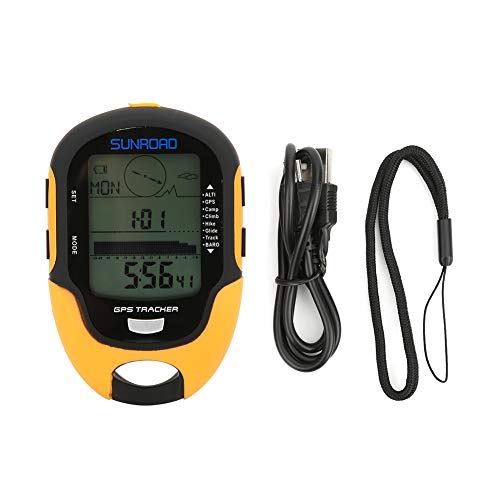


GPS Navigation Tracker Portable Handheld Digital Navigation Altitude Meter Temperature IPX4 Grade Waterproof
| SELLER | SELLER SCORE | AMAZON FULFILLED | PRIME | FREE SHIPPING |
|---|---|---|---|---|
| Moolong | 9.65 | Yes | Yes | Yes |
The Alomejor Handheld GPS is a rugged essential for any serious backcountry enthusiast needing reliable orientation. While many devices focus solely on position, this unit integrates a 16-azimuth electronic compass and detailed barometric data to provide a complete picture of your environment. I found the dual-system GPS compatibility and the ability to track nine sets of course reversal records particularly useful for navigating complex trails without getting turned around. It handles more than just coordinates. You get real-time temperature, humidity, and even a 24-hour air pressure trend curve. The side-mounted buttons make switching between the flashlight and altitude data incredibly intuitive, even when you are wearing gloves. For under fifty dollars, it packs a surprising amount of analytical depth for hikers and climbers.
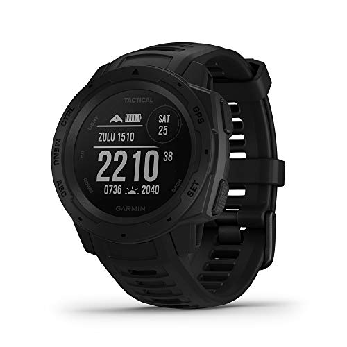
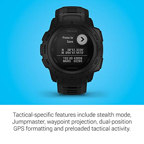


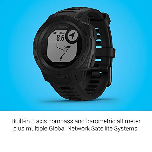
Garmin Instinct Tactical, Rugged GPS Watch, Tactical Specific Features, Constructed to U.S. Military Standard 810G for Thermal, Shock and Water Resist...
| SELLER | SELLER SCORE | AMAZON FULFILLED | PRIME | FREE SHIPPING |
|---|---|---|---|---|
| ✅ Blazing Prices | 9.73 | Yes | Yes | Yes |
Can a timepiece actually survive the absolute worst conditions nature can throw at it? The Garmin Instinct Tactical is built specifically to answer that question, boasting a construction that meets U.S. Military standard 810G for thermal, shock, and water resistance up to 100 meters. I found the navigation suite particularly impressive, as it combines a 3-axis compass and barometric altimeter with GPS, GLONASS, and Galileo to keep you on track in dense environments. Beyond just being a tank on your wrist, it monitors heart rate, stress, and activity levels while offering a 14-day smartwatch battery life. Whether you are using the traceback feature to find your way home or planning complex routes via the Garmin Explore app, this watch serves as a reliable, rugged companion for serious outdoor utility.


Garmin Foretrex 401 Waterproof Hiking GPS
| SELLER | SELLER SCORE | AMAZON FULFILLED | PRIME | FREE SHIPPING |
|---|---|---|---|---|
| TE Distribution | 5.61 | Yes | Yes | Yes |
The Garmin Foretrex 401 dominates difficult terrain with its high-sensitivity GPS receiver and HotFix technology. I found that this device performs exceptionally well when you are tucked under heavy tree cover or navigating deep, narrow canyons where other signals might fail. The 1.42 x 0.91 inch LCD display is easy to read, especially when utilizing the TracBack feature to retrace your exact steps. It is a rugged tool that packs a punch, offering a barometric altimeter, electronic compass, and even sunrise/sunset data. Since it runs on two standard AAA batteries, you never have to worry about proprietary charging cables in the backcountry. Whether you are tracking a massive 10,000-point track log or checking your heart rate via an add-on monitor, this handheld unit provides the reliable navigation essential for serious outdoor expeditions.



Garmin Alpha 200i Dog Tracking Handheld, Utilizes inReach Technology, Sunlight-readable 3.6" Touchscreen (010-02230-50), Black
| SELLER | SELLER SCORE | AMAZON FULFILLED | PRIME | FREE SHIPPING |
|---|---|---|---|---|
| Amazon.com | 9.68 | Yes | Yes | Yes |
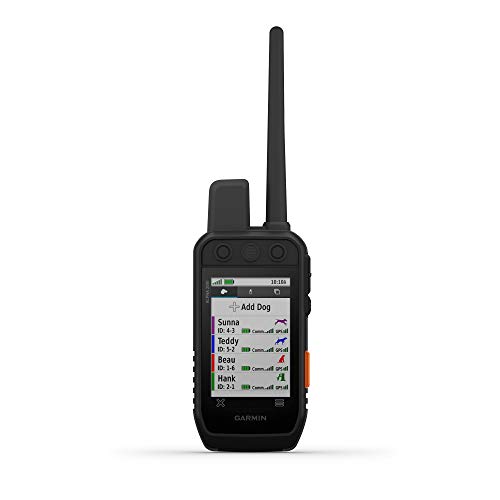
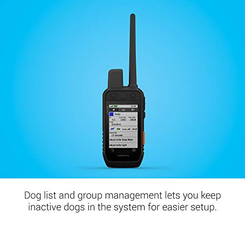
The Garmin Alpha 200i stands as the definitive command center for serious hunters managing large packs in remote terrain. This handheld device eliminates the guesswork by tracking up to 20 dogs with a blistering 2.5-second update rate, ensuring you never lose sight of a scent trail. The 3.5-inch touchscreen is impressively clear even under direct sunlight, though the physical buttons remain essential for quick adjustments when your hands are busy. Beyond simple tracking, the integrated inReach technology provides a vital safety net via the Iridium satellite network, allowing for two-way messaging and SOS alerts when you are far beyond cell range. It is a robust, data-rich tool that bridges the gap between traditional hunting and modern satellite reliability.



Garmin Montana 700, Rugged GPS Handheld, Routable Mapping for Roads and Trails, Glove-Friendly 5" Color Touchscreen
| SELLER | SELLER SCORE | AMAZON FULFILLED | PRIME | FREE SHIPPING |
|---|---|---|---|---|
| Amazon.com | 9.68 | Yes | Yes | Yes |
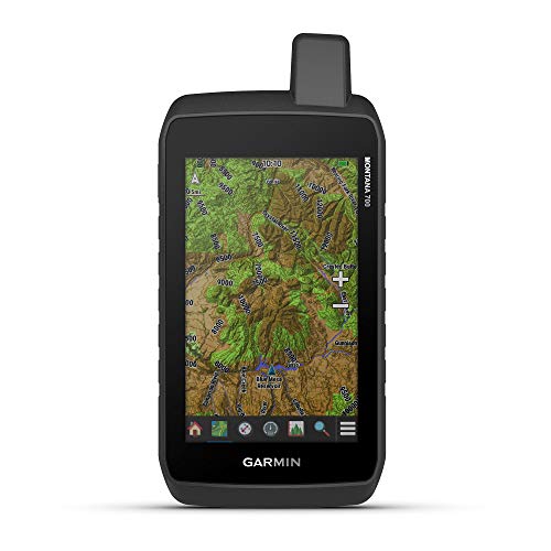
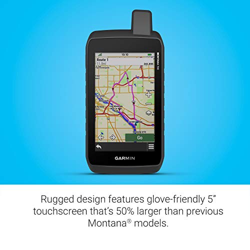
Navigating remote wilderness becomes a liability when your standard smartphone fails due to poor signal or harsh environmental conditions. The Garmin Montana 700 addresses this exact vulnerability with a rugged, MIL-STD 810-rated build that survives thermal shock, vibration, and water. I found the 5-inch touchscreen to be a massive upgrade, especially since it remains responsive even when you are wearing heavy gloves in the backcountry. By utilizing multi-GNSS support across GPS, GLONASS, and Galileo, the device maintains a precise lock on your position. The integration of a 3-axis compass and barometric altimeter provides the essential situational awareness needed for serious trail work, while the ability to sync via Bluetooth and Wi-Fi makes managing your waypoints through the Garmin Explore app incredibly seamless.
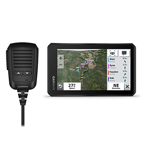
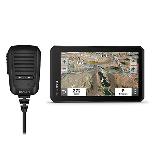


Garmin Tread Powersport Off-Road Navigator with Group Ride Radio, Group Tracking and Voice Communication, 5.5" Display, 010-02406-00
| SELLER | SELLER SCORE | AMAZON FULFILLED | PRIME | FREE SHIPPING |
|---|---|---|---|---|
| Amazon.com | 9.68 | Yes | Yes | Yes |
Can a single device truly act as your lifeline when the trail disappears into the wilderness? The Garmin Tread transforms your off-road vehicle into a sophisticated command center, blending rugged IPX7 weather resistance with an incredibly bright, glove-friendly 5.5-inch touchscreen. It isn't just about following a map. It is about staying connected via the Group Ride Radio, allowing up to 20 riders to communicate through a push-to-talk fist mic. Between the preloaded topographic maps and the ability to pair with inReach satellite communicators, you are never truly lost. Whether you are monitoring pitch and roll gauges on technical terrain or syncing waypoints via the Tread app, this navigator is engineered for those who push their machines to the limit.
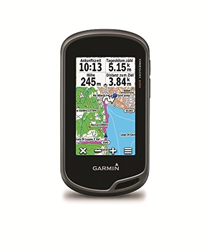


Garmin Oregon 600 3-Inch Worldwide Handheld GPS
| SELLER | SELLER SCORE | AMAZON FULFILLED | PRIME | FREE SHIPPING |
|---|---|---|---|---|
| 1st Class Gaming | 6.26 | No | No | No |
Navigating a dense, sun-drenched forest canopy becomes significantly less stressful when your navigation tool actually fights through the foliage. The Garmin Oregon 600 relies on dual-band GPS and GLONASS satellite positioning to maintain a lock where standard handhelds often fail. I found the 3-inch sunlight-readable touchscreen incredibly intuitive, especially with its multi-touch capability that mimics a modern smartphone. The device intelligently switches between landscape and portrait views, which is a lifesaver when you are toggling between checking a detailed topo map and reading quick waypoint data. Between the built-in barometric altimeter and the ability to wirelessly share geocaches via Bluetooth or ANT, this unit feels like a complete survival toolkit rather than just a simple map reader.

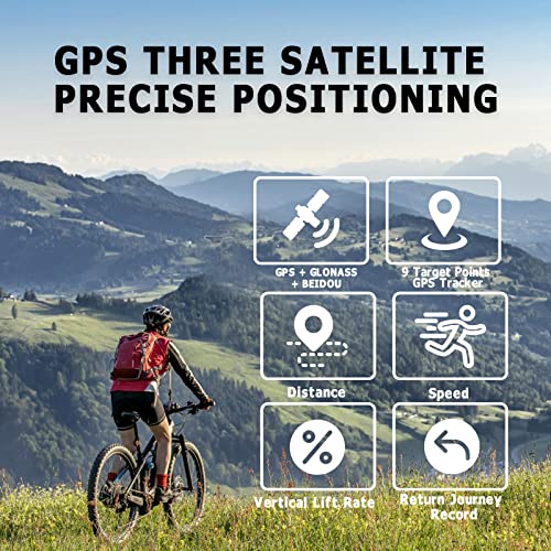
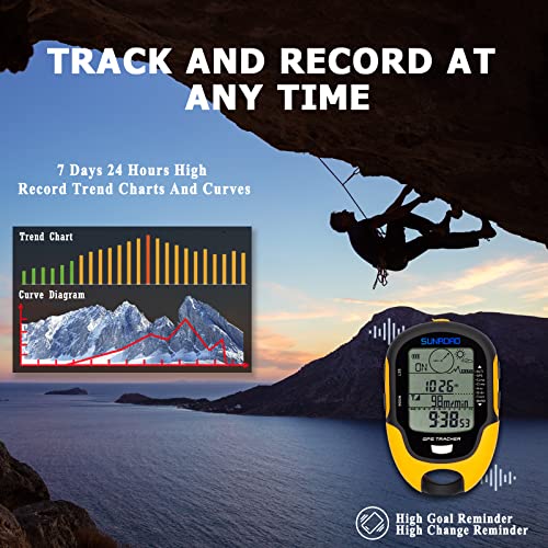


SUNROAD GPS Digital Waterproof Outdoor Altitude Pre-Warning Remind Compass Stopwatch Sports Altimeter-Barometer Weather Forcast Pedometer (Yellow)
| SELLER | SELLER SCORE | AMAZON FULFILLED | PRIME | FREE SHIPPING |
|---|---|---|---|---|
| SUNROAD INC. | 9.37 | Yes | Yes | Yes |
The SUNROAD GPS Digital Watch delivers professional-grade satellite tracking in a rugged, high-visibility yellow chassis. What really sets this device apart is the triple-system compatibility, utilizing GPS, GLONASS, and BeiDou to maintain an incredible 1-meter positioning accuracy even in remote areas. I was particularly impressed by the altimeter's ability to log historical trends over 24 hours and seven days, complete with customizable height alerts. It functions as a true survival tool, combining a Swiss-sensor 16-position compass with a barometer and weather forecasting capabilities. Whether you are tracking nine different route groups or using the built-in LED flashlight during an emergency, the interface remains intuitive. It is a comprehensive, rechargeable toolkit for hikers who need reliable data without the premium price tag.


Wahoo ELEMNT ROAM V2 GPS Bike Computer
| SELLER | SELLER SCORE | AMAZON FULFILLED | PRIME | FREE SHIPPING |
|---|---|---|---|---|
| Amazon.com | 9.68 | Yes | Yes | Yes |
You might wonder if a more expensive cycling computer actually changes your ride, but the Wahoo ELEMNT ROAM V2 proves that precision matters when you're deep in the woods. The standout feature is the Dual-Band GPS, which provides incredible signal reliability under heavy tree cover or near tall buildings where other devices often struggle. I love how the 64-color display brings Summit Segments to life, letting you visualize upcoming climbs and manage your energy before the grade even hits. Between the seamless Strava integration and the ability to generate on-demand routes right from the device, it feels less like a gadget and more like a digital navigator. It’s a rugged, aerodynamic powerhouse that handles everything from turn-by-turn directions to live tracking with ease.


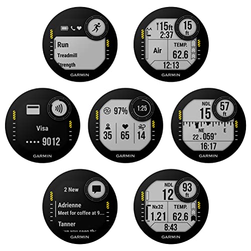

Garmin Descent G1 Rugged Dive Computer, Multiple Dive Modes with Wearable4U Bundle (+Black Earbuds, Slate Gray)
| SELLER | SELLER SCORE | AMAZON FULFILLED | PRIME | FREE SHIPPING |
|---|---|---|---|---|
| Sports-and-Gadgets | 9.89 | Yes | Yes | Yes |
You are hovering just meters above a vibrant coral reef, checking your depth and gas mix while the 3-axis compass helps you navigate the underwater landscape with precision. The Garmin Descent G1 is a powerhouse for serious divers, offering everything from nitrox and trimix support to specialized apnea modes. What makes this specific Wearable4U bundle stand out is the sheer versatility. It transitions seamlessly from a high-performance dive computer to a comprehensive fitness tracker that monitors your VO2 Max and Body Battery. While you are on the surface, you can switch to smartwatch mode to enjoy the included Bluetooth earbuds, which come in a convenient charging power case. It is a rugged, all-in-one ecosystem for anyone who lives for both the ocean and an active lifestyle.

Garmin 200 Handheld Bundle and Save, Garmin 200 Hand Held with Screen Saver, Rubber Case and Lanyard (Yellow Rubber Case)
| SELLER | SELLER SCORE | AMAZON FULFILLED | PRIME | FREE SHIPPING |
|---|---|---|---|---|
| Conkey's Outdoors | 8.95 | No | No | No |
You are standing in a dense thicket miles from the nearest trailhead, squinting against the midday sun, when you realize you need to pinpoint exactly where your lead dog has drifted. The Garmin 200 handheld makes that moment stress-free thanks to its sunlight-readable 3.5-inch capacitive touchscreen and a rugged yellow rubber case that survives the rough handling of a serious hunt. I found the 2.5-second update rate incredibly responsive, providing near-instant visibility of up to 20 dogs via GPS and Galileo. Whether you are diving into Hunt Metrics to analyze behavioral patterns or using the built-in barometric altimeter to navigate terrain, this unit feels like a professional command center. It even plays nice with your old gear through backward compatibility, ensuring your existing collar investment stays relevant.

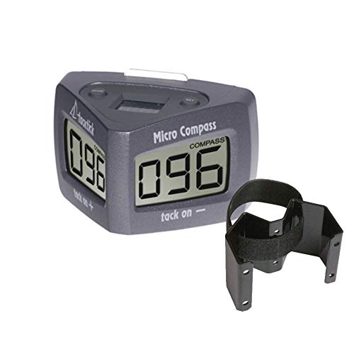


Raymarine Elec. Compass, Micro, Wireless, w/Mount
| SELLER | SELLER SCORE | AMAZON FULFILLED | PRIME | FREE SHIPPING |
|---|---|---|---|---|
| Tradeinn | 8.67 | No | No | No |
The sheer lack of clutter is the first thing you notice when you unbox this compact piece of marine tech. Instead of wrestling with a mess of tangled wires or complex electrical connections, you simply set this lightweight unit in place and you are ready to navigate. At just 0.34 lbs, it is incredibly easy to mount anywhere on your vessel, and the ultra-wide viewing angles ensure you can actually read your heading from almost any position in the cockpit. Even if you take a rogue wave to the face, the housing is totally waterproof and rated for submersion up to 10 meters. It turns a traditionally technical installation into a quick, painless setup process.


RiToEasysports Multifunctional Digital Altimeter Barometer,Handheld USB Rechargeable GPS Navigation Receiver for Outdoor Climbing, Hiking, Hunting, Ca...
| SELLER | SELLER SCORE | AMAZON FULFILLED | PRIME | FREE SHIPPING |
|---|---|---|---|---|
| Tenyse-K | 9.66 | Yes | Yes | Yes |
You might wonder if a budget-friendly handheld device can actually replace dedicated high-end navigation gear, but the RiToEasysports multifunctional altimeter proves surprisingly capable for the price. While testing it for hiking and climbing, the dual GPS and Beidou navigation systems provided the reliable location accuracy needed when trails get murky. It is a true Swiss Army knife for your pack, displaying everything from climbing speed and atmospheric pressure to humidity and temperature. I particularly appreciated the integrated mini torch for quick visibility during dusk transitions, and the USB rechargeable battery holds up well even in harsh weather ranging from -20℃ to 60℃. It turns a simple compass into a comprehensive survival toolkit.

The foundation of any reliable handheld GPS is its ability to communicate with satellite networks. When evaluating units, look for devices that support multiple global constellations, such as GPS, GLONASS, and Galileo. Multi-band or dual-frequency technology is increasingly important in modern units. It allows the device to better distinguish between actual satellite signals and those reflected off canyon walls or dense tree canopies, significantly reducing error margins in challenging terrain. If your primary goal is precision navigation in deep valleys, prioritize a unit with multi-band capabilities.
The screen is your primary interface with the landscape, and its quality dictates how much you can trust your data at a glance. There are two main types: color transflective displays and backlit LCDs. Transflective screens are superior for outdoor use because they become clearer as sunlight intensity increases, reducing eye strain and preserving battery life. However, they often require a backlight for nighttime use or twilight conditions. For high-detail mapping, a high-resolution color screen is vital for distinguishing between contour lines, water features, and trail markings on topographical maps.
In the backcountry, a dead battery is a safety hazard. Handheld GPS units generally fall into two power categories: internal rechargeable lithium-ion batteries and replaceable AA/AAA battery compartments. Internal batteries are often more efficient and allow for sleeker designs, but they require you to carry external power banks. Replaceable battery units offer the ultimate peace of mind for long-duration expeditions, as you can simply swap in fresh alkaline or lithium cells without needing a wall outlet. Always check the estimated battery life when operating in 'tracking mode' versus 'mapping mode,' as the latter is much more power-intensive.
A GPS unit is only as useful as the maps it displays. Some entry-level units provide basic breadcrumb trails, which show where you have been but lack environmental context. For serious navigation, you need a unit capable of rendering sophisticated topographical maps. Look for devices that allow for custom map uploads or come preloaded with detailed terrain data. The ability to overlay waypoints, routes, and tracks onto a high-resolution map allows you to make informed decisions about route changes based on elevation changes or obstacles like rivers and cliffs.
Since these devices are meant for the elements, look for high Ingress Protection (IP) ratings to ensure resistance to water and dust. Furthermore, consider the physical interface. While touchscreens are intuitive, they often struggle with wet fingers or when the user is wearing heavy gloves. Many professional-grade units retain physical buttons to ensure reliable input in freezing temperatures or heavy rain. A ruggedized chassis with reinforced corners is a non-negotiable requirement for anyone venturing off-trail.
Quick answers about Compass Handheld Gps before you buy.
Share of top-ranked products by brand, from our editorial analysis.
We've carried out a comprehensive analysis of 53,385 reviews on Compass Handheld Gps, using our selection criteria to identify the best options in the gps, finders & accessories. Our findings reveal that most customers typically select Compass Handheld Gps priced around $423.19, with top brands including garmin, alomejor and dakota digital and bushnell.
Our team of expert editors reviewed these high-quality items and handpicked the top 27 Compass Handheld Gps for your consideration. We've also done extensive research on numerous sellers, identifying the best ones in the gps, finders & accessories category — including gps city, amazon.com, moolong, tech-boutique, lionparts_powersports, 1st class gaming, isave renewed and i live outdoors and global telesat comms.
We are dedicated to assisting our users in finding the right units Products based on their needs, saving them considerable time when choosing which Compass Handheld Gps to buy. We take pride in the number of satisfied users we've helped through our thorough and insightful reviews.
Compare the top 27 picks at a glance — select a column to sort.