#TOP1
Navigating open waters requires more than just a smartphone and a data connection. It demands a dedicated, rugged, and highly visible tool designed to withstand salt spray, intense sunlight, and unpredictable weather. A marine handheld GPS is a critical piece of safety equipment for any boater, providing precise positioning, waypoint management, and situational awareness when you are away from the shore. Unlike standard consumer GPS devices, marine-specific units are engineered with specialized hardware to ensure accuracy in high-glare environments and durability against the corrosive nature of maritime climates.
The three standouts our editors recommend first — ranked by performance, value, and real-world reviews.


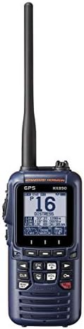
Standard Horizon HX890 Handheld VHF Navy Blue - Floating 6 Watt Class H DSC Two Way Radio
| SELLER | SELLER SCORE | AMAZON FULFILLED | PRIME | FREE SHIPPING |
|---|---|---|---|---|
| The GPS Store, Inc. | 7.38 | No | No | No |
Most maritime safety gear feels like a bulky afterthought, but the Standard Horizon HX890 actually fits comfortably in your hand thanks to its clever round case design. I was particularly impressed by how much utility is packed into this submersible unit, from the integrated 66-channel WAAS GPS to the high-output 6W transmit power. It doesn't just sit in the water if dropped. It floats, and the water-activated emergency strobe light provides an extra layer of visibility that is vital in a crisis. Whether you are navigating via waypoints or using the Man Over Board feature, the large dot-matrix display remains legible in both day and night modes. It is a comprehensive communication hub that includes everything from weather alerts to an FM radio, making it a reliable companion for serious boaters.
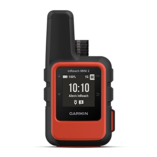


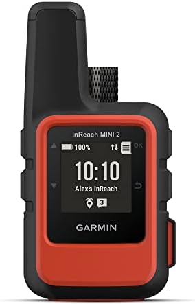
Garmin inReach Mini 2, Lightweight and Compact Satellite Communicator, Hiking Handheld, Orange
| SELLER | SELLER SCORE | AMAZON FULFILLED | PRIME | FREE SHIPPING |
|---|---|---|---|---|
| Global Telesat Comms | 5.89 | Yes | Yes | Yes |
The Garmin inReach Mini 2 redefines backcountry safety by packing global two-way messaging and interactive SOS capabilities into an incredibly lightweight, pocket-sized frame. I found the TracBack routing feature particularly indispensable for navigating back to a starting point when visibility drops or trails vanish. Because it features a digital compass, you get reliable heading information even while standing perfectly still. The integration with the Garmin Explore app makes trip planning and topographical mapping feel seamless on your smartphone. With a battery that lasts up to 14 days in 10-minute tracking mode, this device offers the long-term reliability essential for multi-day treks. It is a rugged, water-resistant lifeline that ensures your coordinates and location are always shared with loved ones via MapShare.
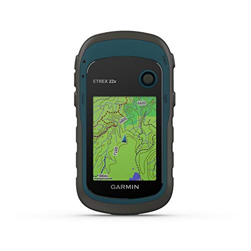


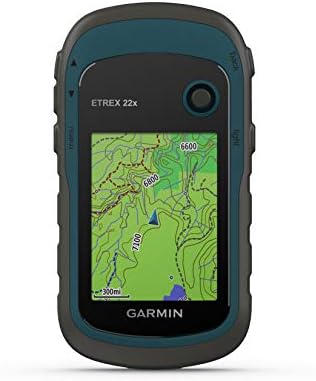
Garmin eTrex 22x, Rugged Handheld GPS Navigator, Black/Navy
| SELLER | SELLER SCORE | AMAZON FULFILLED | PRIME | FREE SHIPPING |
|---|---|---|---|---|
| Amazon.com | 9.68 | Yes | Yes | Yes |
The Garmin eTrex 22x stands as a reliable cornerstone for outdoor enthusiasts who need dependable navigation without the fragility of a smartphone. This rugged handheld device excels in the field thanks to its dual GPS and GLONASS satellite support, which ensures you stay on track even when the canopy gets thick or the terrain gets tough. The 2.2-inch color display remains surprisingly readable under direct sunlight, making it easy to follow the preloaded Topo Active maps through winding trails or cycling routes. With 8 GB of internal memory and an expandable micro SD slot, you have plenty of room for extra topographical data. Plus, running on two AA batteries provides a solid 25 hours of tracking, so you won't be left searching for a power outlet in the middle of the woods.
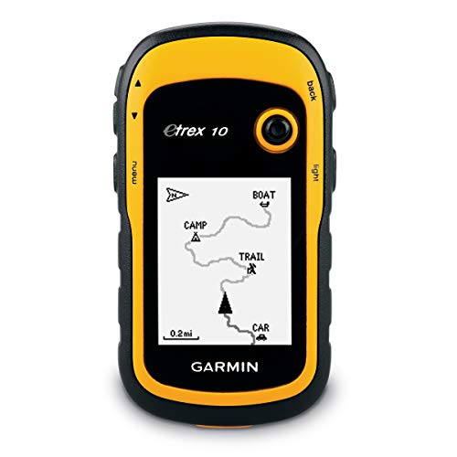


Garmin eTrex 10 Worldwide Handheld GPS Navigator
| SELLER | SELLER SCORE | AMAZON FULFILLED | PRIME | FREE SHIPPING |
|---|---|---|---|---|
| Amazon.com | 9.68 | Yes | Yes | Yes |
Deep in a dense forest canopy where cell signals go to die, the Garmin eTrex 10 becomes your most reliable companion. This rugged little navigator is built for the grit of real-world exploration, featuring a 2.2 inch monochrome display that remains readable even when things get messy. I found the dual support for GLONASS and WAAS incredibly helpful for maintaining a fast, reliable signal in tricky terrain. It handles splashes and heavy rain with ease thanks to its IPX7 waterproof rating, making it a perfect tool for paperless geocaching. You can even track high and low elevation points to better estimate your trek's distance and time. Running on two AA batteries for up to 20 hours, it’s a dependable, low-maintenance piece of gear for any serious hiker.
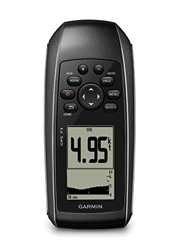

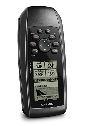
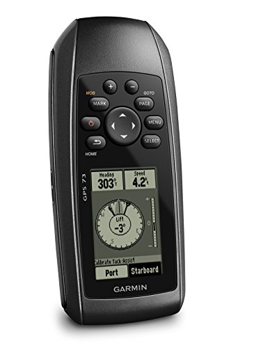

Garmin GPS 73
| SELLER | SELLER SCORE | AMAZON FULFILLED | PRIME | FREE SHIPPING |
|---|---|---|---|---|
| Amazon.com | 9.68 | Yes | Yes | Yes |
You are caught in a sudden swell while trying to maintain your course, and suddenly, having a dedicated tool to manage your position is the difference between a smooth trip and a stressful one. The Garmin GPS 73 is built specifically for these high-stakes moments on the water. I found the SAILASSIST features, like the virtual starting line and tack assist, incredibly helpful for refining your sailing technique. It isn't just a compass. With MOB alerts and anchor drag alarms, it acts as a vigilant safety officer. The backlit buttons make it easy to navigate even when the sun is blinding or the deck is wet. Plus, running on two AA batteries for over 18 hours means you won't be left searching for a power source in the middle of a long excursion.
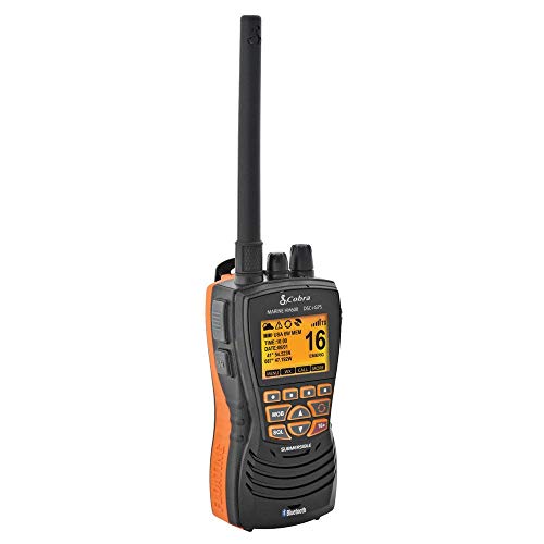
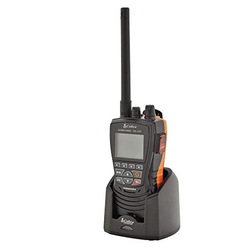
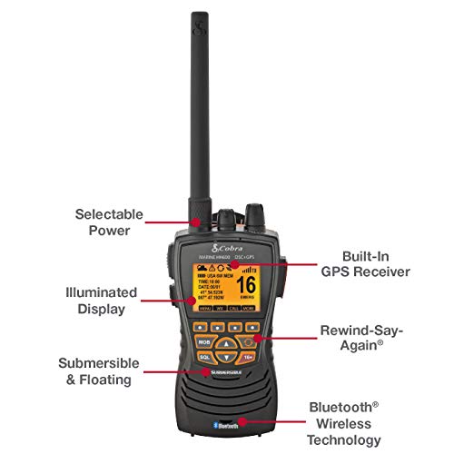
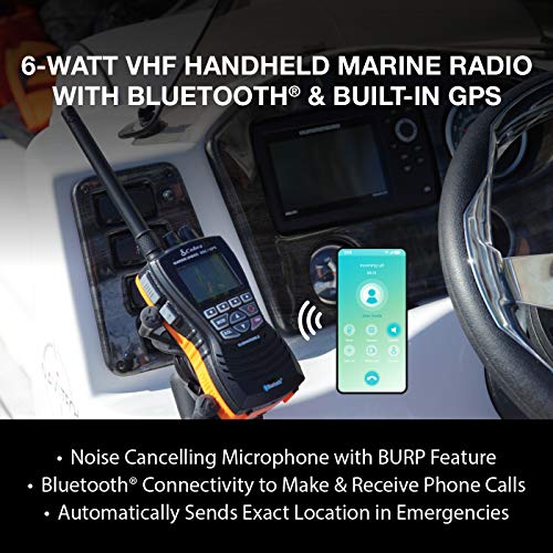
Cobra MR HH600FLTBTGPS Handheld Floating VHF Radio – 6 Watt, GPS, Bluetooth, Submersible, Noise Cancelling Mic, Backlit LCD Display, Memory Scan, Grey
| SELLER | SELLER SCORE | AMAZON FULFILLED | PRIME | FREE SHIPPING |
|---|---|---|---|---|
| Amazon Warehouse | 9.90 | Yes | Yes | Yes |
You are navigating choppy waters during a sudden squall when a vital weather update cuts out mid-sentence. Instead of panicking, you rely on the Cobra MR HH600FLTBTGPS to save the day. This radio is a powerhouse for serious boaters, featuring a unique replay function that captures the last 20 seconds of incoming transmissions so you never miss a word in noisy environments. The integrated Bluetooth lets you handle calls without reaching for your phone, while the built-in GPS ensures your exact coordinates are ready for DSC emergency calls. I especially love the 'Burp' feature, which vibrates water out of the speaker to keep your audio crisp after a splash. It arrives fully loaded with everything from a LiON battery to multiple charging options, making it a truly ready-to-use lifeline on the water.
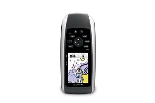

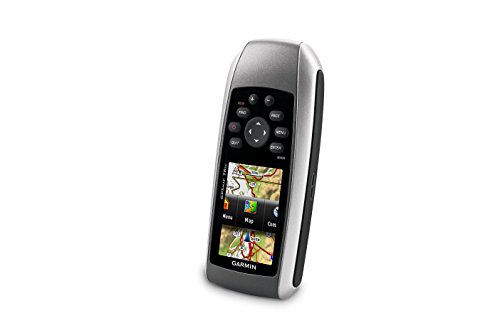
Garmin GPSMAP 78sc Waterproof Marine GPS and Chartplotter
| SELLER | SELLER SCORE | AMAZON FULFILLED | PRIME | FREE SHIPPING |
|---|---|---|---|---|
| WaterfallView158 | 6.13 | No | No | No |
The Garmin GPSMAP 78sc is a rugged maritime lifeline defined by its incredible buoyancy and waterproof reliability. While navigating coastal waters, having a device that actually floats after a drop is a massive relief for any boater. The 2.6-inch color TFT display remains clear even in bright sunlight, providing essential data through the built-in BlueChart g2 coastal charts. I found the integration of depth contours, marinas, and navaids to be seamless for real-time situational awareness. Beyond just mapping, the 3-axis tilt-compensated compass and barometric altimeter offer reliable heading and weather updates. It even lets you wirelessly swap waypoints and tracks with other compatible users, making it a highly collaborative tool for group excursions on the water.
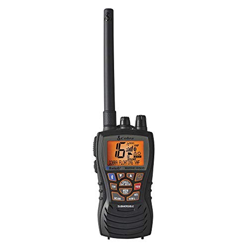
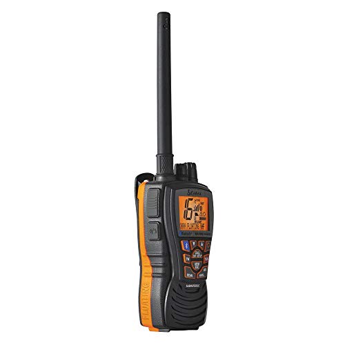


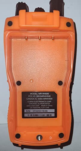
Cobra MR HH500 FLT BT Handheld Floating VHF Radio – 6 Watt, Bluetooth, Submersible, Noise Cancelling Mic, Backlit LCD Display, Memory Scan, Black
| SELLER | SELLER SCORE | AMAZON FULFILLED | PRIME | FREE SHIPPING |
|---|---|---|---|---|
| Amazon.com | 9.68 | Yes | Yes | Yes |
Serious boaters who refuse to sacrifice connectivity for safety need the Cobra MR HH500 FLT BT in their emergency kit. This radio solves the age-old problem of keeping your smartphone dry by allowing you to take calls directly through the device via Bluetooth. I found the 'burp' feature particularly clever. It uses vibrations to shake water out of the speaker grill, ensuring you aren't left with muffled audio after a splash. The noise-canceling microphone and the ability to replay the last 20 seconds of a transmission are absolute game-changers when you are battling engine roar or heavy wind. With 6-watt power and international channel flexibility, it feels like a professional-grade lifeline rather than just another piece of handheld gear.


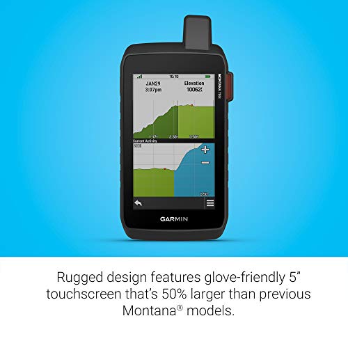

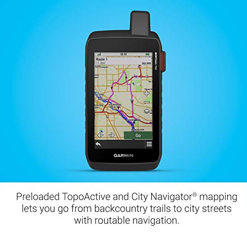
Garmin Montana 700i, Rugged GPS Handheld with Built-in inReach Satellite Technology, Glove-Friendly 5" Color Touchscreen
| SELLER | SELLER SCORE | AMAZON FULFILLED | PRIME | FREE SHIPPING |
|---|---|---|---|---|
| Amazon.com | 9.68 | Yes | Yes | Yes |
Most people assume a larger screen makes a device more fragile, but the Garmin Montana 700i actually uses that massive 5-inch display to enhance its military-grade durability. It is a massive leap over previous models, offering a glove-friendly interface that doesn't sacrifice ruggedness for visibility. What really sets this apart is the peace of mind provided by the integrated inReach technology. You aren't just navigating with TopoActive maps and multi-GNSS support, you are actively communicating via the global Iridium satellite network. Whether you are using the barometric altimeter to track elevation or downloading BirdsEye Satellite Imagery via Wi-Fi, this device feels like a complete survival toolkit rather than just a standard GPS. It is built for the serious explorer who needs two-way SOS capabilities and reliable routable maps when off the grid.


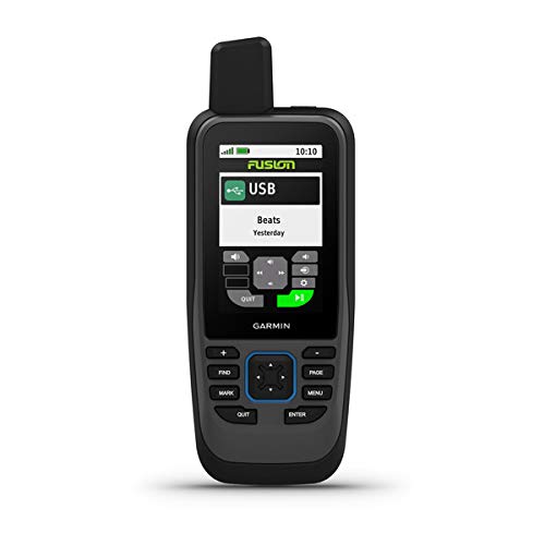
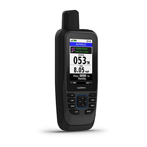
Garmin GPSMAP 86SC, Floating Handheld GPS with Button Operation, Preloaded BlueChart G3 Coastal Charts, Stream Boat Data From Compatible Chartplotters
| SELLER | SELLER SCORE | AMAZON FULFILLED | PRIME | FREE SHIPPING |
|---|---|---|---|---|
| Amazon.com | 9.68 | Yes | Yes | Yes |
Navigating choppy waters becomes a nightmare when your electronics can't handle the spray or the swell. The Garmin GPSMAP 86SC solves this by offering a rugged, water-resistant, and floating design that stays visible even in harsh sunlight. I found the button operation much more reliable than touchscreens when hands are wet or gloved. It isn't just a standalone unit, though. It acts as a central hub by streaming boat data from compatible chartplotters and even serving as a remote for Garmin autopilot and Fusion Marine systems. With preloaded BlueChart G3 coastal charts and an adjustable GPS filter to smooth out heading readings during swells, it provides a level of stability and detail that is essential for serious maritime use.
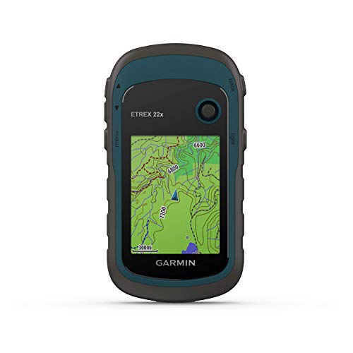


Garmin eTrex 22x, Rugged Handheld GPS Navigator (Renewed)
| SELLER | SELLER SCORE | AMAZON FULFILLED | PRIME | FREE SHIPPING |
|---|---|---|---|---|
| No | No | No |
The sunlight-readable color display on this Garmin unit immediately cuts through the glare of a midday trek, making it easy to read even in the harshest conditions. I found that having Topo Active maps preloaded takes much of the guesswork out of navigating complex trails or cycling routes. Because it tracks both GPS and GLONASS satellite systems, you get a level of reliability in deep canyons or heavy tree cover that standard devices often struggle with. The 8 GB of internal memory gives you plenty of room for essential data, but the micro SD card slot is the real winner for anyone looking to expand their mapping library. It is a rugged, dependable companion that feels built for the actual elements rather than just a casual walk.

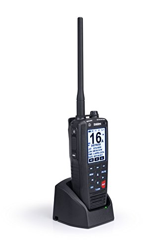


Uniden MHS335BT 6W Class D Floating Handheld VHF Marine Radio with Bluetooth, Text Message Directly To Other Vhf Text Message Capable Radios, IPX8 Sub...
| SELLER | SELLER SCORE | AMAZON FULFILLED | PRIME | FREE SHIPPING |
|---|---|---|---|---|
| Less Is Always More ✱AUTHORIZED SELLER✱ | 9.74 | No | No | No |
Most maritime safety gear feels like a heavy, cumbersome afterthought, but the Uniden MHS335BT actually integrates into your modern digital life. It is rare to find a handheld VHF that bridges the gap between traditional radio waves and smartphone convenience through Bluetooth connectivity. During testing, the 6W of power and Class D DSC functionality provided a robust lifeline, while the integrated GPS ensured worldwide accuracy via WAAS and SBAS. It is built for the worst-case scenario, boasting an IPX8 submersible design that even clears its own speaker of water after a dunking. Whether you are navigating via the built-in compass or relying on the water-activated MOB feature to trigger a distress call, this radio feels like a specialized piece of survival equipment rather than just another gadget.

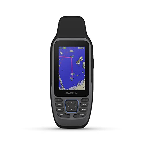
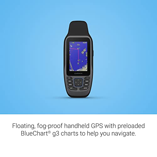
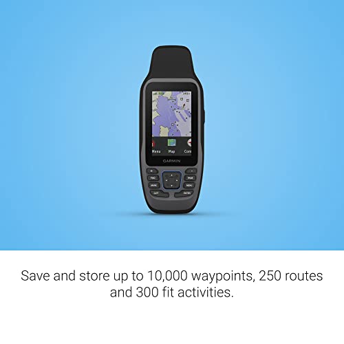
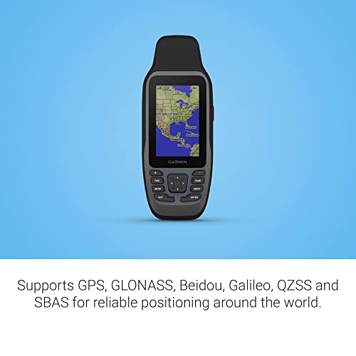
Garmin GPSMAP 79sc, Marine GPS Handheld Preloaded With BlueChart g3 Coastal Charts, Rugged Design and Floats in Water
| SELLER | SELLER SCORE | AMAZON FULFILLED | PRIME | FREE SHIPPING |
|---|---|---|---|---|
| Amazon.com | 9.68 | Yes | Yes | Yes |
The Garmin GPSMAP 79sc is a lifesaver for mariners because it actually floats when it hits the water. I found the rugged, IPX6 water-resistant build incredibly reassuring during choppy coastal excursions, especially with that scratch-resistant, fogproof glass protecting the high-resolution display. It comes preloaded with BlueChart g3 coastal charts, which takes the guesswork out of navigation immediately. The tracking is impressively reliable thanks to support for multiple satellite constellations like GLONASS and Galileo, ensuring you aren't lost even in tricky environments. With a built-in 3-axis tilt-compensated electronic compass and a barometric altimeter for altitude tracking, this unit feels like a complete toolkit. Plus, the increased memory allows you to log a massive amount of waypoints and activities without running out of space.



Garmin GPSMAP 79s, Marine GPS Handheld with Worldwide Basemap, Rugged Design and Floats in Water
| SELLER | SELLER SCORE | AMAZON FULFILLED | PRIME | FREE SHIPPING |
|---|---|---|---|---|
| Amazon.com | 9.68 | Yes | Yes | Yes |
The Garmin GPSMAP 79s is an absolute necessity for offshore mariners who refuse to let a lost signal or a dropped device compromise their safety. I found the rugged, floating design incredibly reassuring during testing. Knowing this unit won't sink if it slips from your hand makes a massive difference on the water. The high-resolution color display remains clear thanks to the fogproof, scratch-resistant glass, while the inclusion of a worldwide basemap provides instant context. With support for multiple satellite constellations like GLONASS and Galileo, the tracking is remarkably reliable. Between the 20-hour battery life and the precision of the barometric altimeter and tilt-compensated compass, this handheld feels like a professional-grade tool built for the most demanding maritime environments.


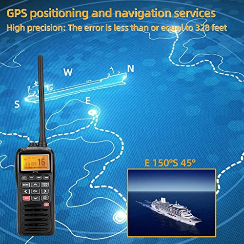


Retevis RM40 Handheld Marine Radio with GPS, DSC Radio Marine,Floating IPX7 Waterproof,Mob,NOAA Weather Alert,Marine Band Radio with Distress for Boat...
| SELLER | SELLER SCORE | AMAZON FULFILLED | PRIME | FREE SHIPPING |
|---|---|---|---|---|
| Retevis Direct | 9.92 | Yes | Yes | Yes |
A sudden swell knocks your handheld into the dark Atlantic, but instead of sinking, the Retevis RM40 bobs to the surface with a flashing alarm to signal its location. This isn't just a standard walkie-talkie. It is a serious piece of maritime safety gear designed for the chaos of open water. The integrated GPS provides high-precision positioning within 100 meters, which is vital when paired with the DSC system to broadcast your SOS coordinates to the Coast Guard. I found the Tri-watch feature particularly useful for monitoring commercial vessel traffic without losing your primary channel, and the NOAA weather alerts keep you one step ahead of incoming storms. It feels rugged enough to handle salt spray and heavy corrosion, making it a reliable companion for long-term sea operations.


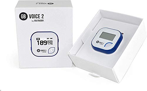


GolfBuddy Clip on Voice 2 Golf Navigation GPS for Hat/GPS and Laser Rangefinder, 14 Hours Battery Life, Water Resistant with Lifetime Free Courses and...
| SELLER | SELLER SCORE | AMAZON FULFILLED | PRIME | FREE SHIPPING |
|---|---|---|---|---|
| UMMA GOLF | 9.75 | Yes | Yes | Yes |
You are standing on a narrow fairway with a tricky approach shot ahead, and instead of fumbling with a bulky device, you simply glance at the tiny screen clipped to your hat. The GolfBuddy Clip on Voice 2 is designed for golfers who want hands-free precision without the distraction of a smartphone. I found the dual-mode utility incredibly helpful. You can rely on the clear 1-inch LCD for a visual green view or use the adjustable audio guidance to hear distances to the front, middle, and back of the green. With 14 hours of battery life, it easily handles a full day of play, and the QZSS GPS reception keeps your data accurate. It is a lightweight, rugged little tool that makes navigating over 40,000 global courses feel seamless.


Golf Buddy Voice 2 SE+ Talking GPS Rangefinder, 18 Hours Battery Life Golf Distance Range Finder, Preloaded with 40,000 Worldwide Courses, Easy-to-use...
| SELLER | SELLER SCORE | AMAZON FULFILLED | PRIME | FREE SHIPPING |
|---|---|---|---|---|
| UMMA GOLF | 9.75 | Yes | Yes | Yes |
Miscalculating distances to the green can ruin an entire round, but the Golf Buddy Voice 2 SE+ eliminates that guesswork by providing instant audio feedback. I found the ability to clip this tiny unit to a hat or belt incredibly convenient, as it lets you focus on your swing rather than fumbling with a handheld device. It delivers precise distances to the front, center, and back of the green, and the slope-adjusted feature is a game changer for tackling tricky elevations. With 40,000 preloaded courses and an impressive 18-hour battery life, you can play multiple rounds without worrying about a charge. The dual-mode display allows you to check the screen and listen to the voice guidance simultaneously, making it a seamless addition to your golf bag.
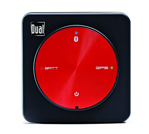



Dual Electronics XGPS150A Multipurpose Portable Universal Bluetooth GPS Receiver | Wide Area Augmentation System
| SELLER | SELLER SCORE | AMAZON FULFILLED | PRIME | FREE SHIPPING |
|---|---|---|---|---|
| Amazon.com | 9.68 | Yes | Yes | Yes |
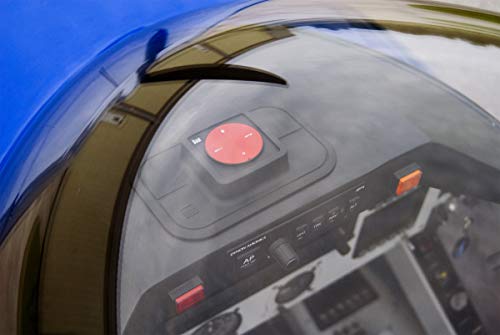
Outdoor enthusiasts and mobile professionals who struggle with weak device positioning need the Dual Electronics XGPS150A to unlock true navigational precision. This compact receiver solves the headache of inaccurate smartphone signals by providing a high-strength Wide Area Augmentation System connection via Bluetooth in just seconds. I found the versatility impressive. Whether you are navigating a boat, hiking a remote trail, or flying, it integrates seamlessly with iPhone, Android, Mac, and Windows through a dedicated status app. The unit is rugged enough for the elements thanks to its water-resistant build, and it comes fully loaded with a car charger, an adjustable strap, and a non-slip pad for secure mounting. With 8.5 hours of continuous battery life, it is a reliable companion for any long-distance excursion.

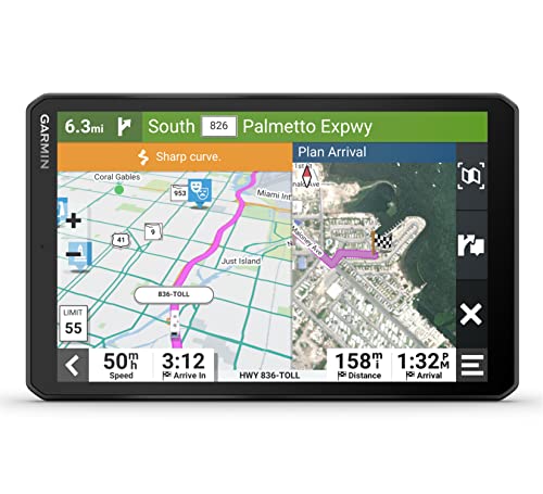


Garmin RV 895 GPS Navigator, Large, Easy-to-Read 8”, Custom RV Routing, High-Resolution Birdseye Satellite Imagery with Wearable4U Power Pack Bundle
| SELLER | SELLER SCORE | AMAZON FULFILLED | PRIME | FREE SHIPPING |
|---|---|---|---|---|
| Sports-and-Gadgets | 9.89 | Yes | Yes | Yes |
The massive 8-inch high-resolution touchscreen immediately commands attention on your dashboard, making map navigation feel effortless rather than a chore. What sets this Garmin unit apart is how it respects the physics of your rig. The custom routing accounts for your specific RV or trailer size and weight to keep you off roads you simply shouldn't be on. I found the BirdsEye Satellite Imagery particularly useful for spotting the perfect campsite layout before you even pull in. Beyond the navigation, the Wearable4U bundle is a lifesaver, providing a dedicated power bank and charging adapters so your tech stays powered while you explore North America. It is a comprehensive toolkit for anyone serious about long-haul road trips.


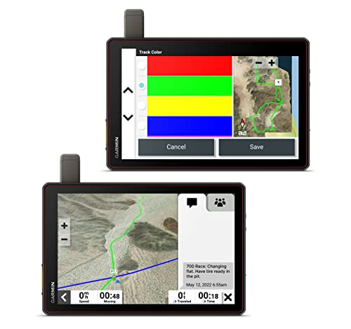

Garmin Tread XL - Baja Chase Edition, Rugged, 10” Off-Road Chase Navigator, Portable GPS for Baja Support Trucks with Wearable4U Power Pack Bundle
| SELLER | SELLER SCORE | AMAZON FULFILLED | PRIME | FREE SHIPPING |
|---|---|---|---|---|
| Sports-and-Gadgets | 9.89 | Yes | Yes | Yes |
The massive 10-inch ultrabright touchscreen immediately commands your dashboard, making it impossible to miss critical navigation data even in the harshest desert glare. This Baja Chase Edition isn't just a GPS. It is a full-scale coordination hub for high-stakes off-road racing. By integrating inReach technology, your chase trucks and race vehicles stay linked via global satellite messaging, ensuring the team stays synchronized through every remote mile marker. I love how the prerunning tools allow you to build custom pacenotes like 'sharp turn' or 'danger' to prep your driver. Because this bundle includes the Wearable4U Power Pack with a dedicated e-bank and multiple chargers, you won't have to worry about the unit dying mid-race. It is a rugged, IP67-rated lifeline for any serious support crew.

When you are on the water, your primary enemy is glare. A handheld unit with a small, low-contrast screen will be virtually useless in midday sun. Look for devices that feature high-brightness, transflective displays. Transflective technology is superior for marine use because it uses ambient sunlight to actually improve screen visibility, rather than fighting against it. Additionally, consider the screen size. While smaller units are more portable, a larger display allows for easier reading of chart details, depth contours, and approaching hazards while the vessel is in motion.
A marine handheld GPS must meet strict ingress protection ratings. You should prioritize units rated at least IPX7, which ensures the device can be submerged in water for a short period without failing. However, for serious offshore use, look for units that are built to MIL-STD-810 standards, indicating they have been tested for shock, vibration, and extreme temperatures. The casing should be made of high-impact materials that can survive a drop onto a fiberglass deck or a rocky shoreline.
The utility of your GPS is defined by the maps it carries. Basic units may only show topographic lines, but for marine navigation, you need detailed nautical charts. These charts should include depth soundings, navigational aids (like buoys and beacons), coastline details, and restricted zones. Check whether the unit supports preloaded charts or if it allows for expandable memory via SD cards. The ability to overlay radar data or AIS (Automatic Identification System) information can be a game-changer for collision avoidance, though these often require additional hardware integration.
Running out of power in the middle of a channel is a safety risk. Evaluate the battery type: internal rechargeable lithium-ion batteries are convenient, but for long-range cruising, units that accept replaceable AA or AAA alkaline batteries provide a vital redundancy. If you rely on a rechargeable unit, ensure it features a fast-charging capability and can be powered via a 12V marine outlet or a USB port while on the boat.
Modern marine handhelds often serve as more than just position trackers. Look for units with Bluetooth or Wi-Fi capabilities that allow you to sync waypoints and tracks with your smartphone or your vessel's larger multifunction display. If you frequently fish, ensure the GPS has dedicated features for sonar integration or fish-finding data overlays, which can turn a simple navigation tool into a powerful tactical instrument.
Quick answers about Marine Handheld Gps before you buy.
Share of top-ranked products by brand, from our editorial analysis.
We've carried out a comprehensive analysis of 19,732 reviews on Marine Handheld Gps, using our selection criteria to identify the best options in the vehicle electronics. Our findings reveal that most customers typically select Marine Handheld Gps priced around $492.43, with top brands including garmin, cobra, retevis and standard horizon and uniden.
Our team of expert editors reviewed these high-quality items and handpicked the top 20 Marine Handheld Gps for your consideration. We've also done extensive research on numerous sellers, identifying the best ones in the vehicle electronics category — including amazon.com, amazon warehouse, retevis direct, the gps store, inc., waterfallview158 and less is always more ✱authorized seller✱ and global telesat comms.
We are dedicated to assisting our users in finding the right units Products based on their needs, saving them considerable time when choosing which Marine Handheld Gps to buy. We take pride in the number of satisfied users we've helped through our thorough and insightful reviews.
Compare the top 20 picks at a glance — select a column to sort.