#TOP1

Navigating open waters requires more than just a compass and a sense of direction. It requires real-time, high-fidelity data delivered through a reliable interface. A marine GPS chartplotter is the central nervous system of a modern vessel, integrating positional data, depth readings, radar imagery, and sonar feedback into a single, intuitive display. Whether you are a weekend coastal cruiser or a long-range offshore voyager, choosing the right unit is a decision that impacts both your safety and your situational awareness. This guide will help you navigate the technical complexities of screen sizes, connectivity standards, and mapping capabilities to find the perfect command center for your boat.
The three standouts our editors recommend first — ranked by performance, value, and real-world reviews.



| SELLER | SELLER SCORE | AMAZON FULFILLED | PRIME | FREE SHIPPING |
|---|---|---|---|---|
| iSave | 9.91 | No | No | No |


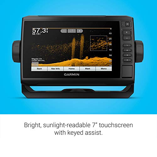


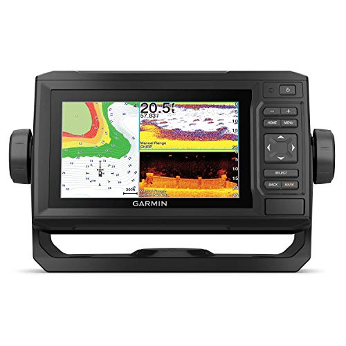
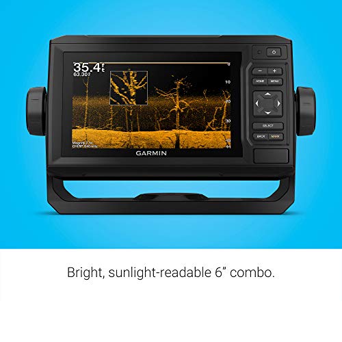
Garmin ECHOMAP UHD 74Cv, 7" Keyed-Assist Touchscreen Chartplotter with U.S. BlueChart G3 and GT24UHD-TM Transducer
| SELLER | SELLER SCORE | AMAZON FULFILLED | PRIME | FREE SHIPPING |
|---|---|---|---|---|
| Prime Marine | 9.71 | No | No | No |
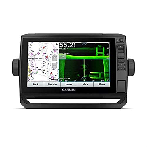
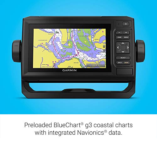
Most anglers settle for grainy sonar images and outdated maps, but the Garmin ECHOMAP UHD 74cv elevates your time on the water with high-definition clarity. Testing this unit revealed how much the included GT24 transducer matters. The ultra High-Definition scanning provides a crisp view of what is happening beneath your boat. The 7-inch touchscreen is impressively bright and remains easy to read even under direct sunlight, though the keyed-assist feature is the real hero when your hands are wet or you need tactile reliability. Having preloaded BlueChart G3 coastal charts means you can navigate with confidence immediately. Plus, the ability to share sonar data with other ECHOMAP units makes it a seamless addition to a multi-boat setup.
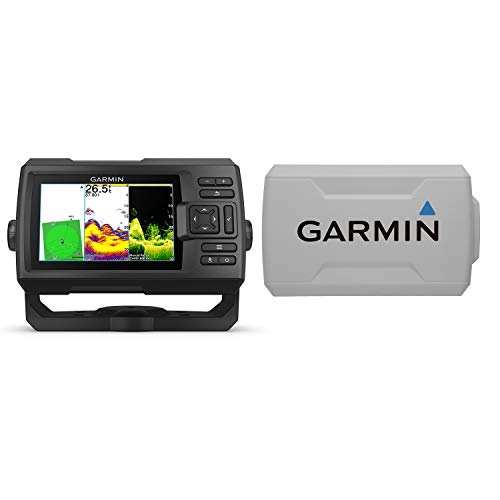
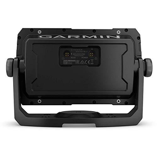
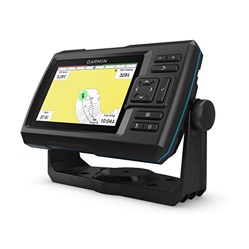


Garmin Striker Vivid 5cv Bundle with Transducer and Protective Cover, 5-inch Color Fishfinder, Vivid Scanning Sonar Color Palettes 010-02551-00
| SELLER | SELLER SCORE | AMAZON FULFILLED | PRIME | FREE SHIPPING |
|---|---|---|---|---|
| GPS City | 9.86 | Yes | Yes | Yes |
The Garmin Striker Vivid 5cv Bundle delivers incredible clarity through its specialized scanning sonar color palettes. After testing this compact unit, the most impressive aspect is how easily you can distinguish between actual fish and underwater structure thanks to those new vivid color settings. It handles both traditional CHIRP sonar and ClearVü scanning with ease, providing a detailed picture of what is happening beneath your hull. The high-sensitivity GPS is a lifesaver for marking waypoints and tracking your boat's speed, while the Quickdraw Contours mapping helps you build your own charts on the fly. Plus, having a genuine Garmin protective cover included in the box is a massive win for preventing sun damage and keeping the screen pristine during long days on the water.


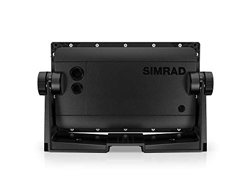
Simrad Cruise 7-7-inch GPS Chartplotter with 83/200 Transducer, Preloaded C-MAP US Coastal Maps
| SELLER | SELLER SCORE | AMAZON FULFILLED | PRIME | FREE SHIPPING |
|---|---|---|---|---|
| Amazon.com | 9.68 | Yes | Yes | Yes |
Why complicate your time on the water with overly technical navigation gear? The Simrad Cruise is designed specifically for boaters who want to spend less time staring at menus and more time enjoying the scenery. It arrives ready to go with preloaded US coastal maps, meaning you can head straight to the helm without hunting for additional software. I found the rotary dial and keypad controls incredibly responsive, making it easy to toggle through depth readings and battery voltage even if the water gets choppy. The included 83/200 CHIRP transducer is a standout, handling automatic depth tracking perfectly so you never have to mess with manual fine-tuning. It is a streamlined, intuitive solution for straightforward GPS navigation.


Garmin GPSMAP 78S Marine GPS Navigator and World Wide Chartplotter (010-00864-01)
| SELLER | SELLER SCORE | AMAZON FULFILLED | PRIME | FREE SHIPPING |
|---|---|---|---|---|
| CoJack407 | 6.31 | No | No | No |
The sudden swell of a choppy coastline demands equipment that won't fail when you lose sight of the shore. I took the Garmin GPSMAP 78S out to test its reliability, and its buoyant, floating design provides massive peace of mind if it ever slips from your hands into the water. The 2.6-inch TFT LCD display remains clear enough to navigate via the worldwide shaded relief basemap, and the built-in 3-axis electronic compass ensures you stay oriented even when movement is erratic. While the 1.7MB of internal memory is modest, the microSD card slot makes expanding your mapping options incredibly easy. It is a rugged, dependable companion for anyone needing a barometric altimeter and reliable positioning in unpredictable marine environments.

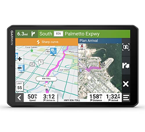


Garmin RV 895 GPS Navigator, Large, Easy-to-Read 8”, Custom RV Routing, High-Resolution Birdseye Satellite Imagery with Wearable4U Power Pack Bundle
| SELLER | SELLER SCORE | AMAZON FULFILLED | PRIME | FREE SHIPPING |
|---|---|---|---|---|
| Sports-and-Gadgets | 9.89 | Yes | Yes | Yes |
The massive 8-inch high-resolution touchscreen immediately commands attention on your dashboard, making map navigation feel effortless rather than a chore. What sets this Garmin unit apart is how it respects the physics of your rig. The custom routing accounts for your specific RV or trailer size and weight to keep you off roads you simply shouldn't be on. I found the BirdsEye Satellite Imagery particularly useful for spotting the perfect campsite layout before you even pull in. Beyond the navigation, the Wearable4U bundle is a lifesaver, providing a dedicated power bank and charging adapters so your tech stays powered while you explore North America. It is a comprehensive toolkit for anyone serious about long-haul road trips.
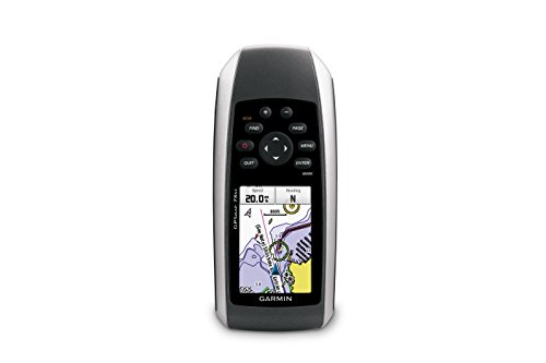

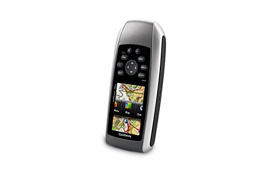
Garmin GPSMAP 78sc Waterproof Marine GPS and Chartplotter
| SELLER | SELLER SCORE | AMAZON FULFILLED | PRIME | FREE SHIPPING |
|---|---|---|---|---|
| WaterfallView158 | 6.13 | No | No | No |
The Garmin GPSMAP 78sc is a rugged maritime lifeline defined by its incredible buoyancy and waterproof reliability. While navigating coastal waters, having a device that actually floats after a drop is a massive relief for any boater. The 2.6-inch color TFT display remains clear even in bright sunlight, providing essential data through the built-in BlueChart g2 coastal charts. I found the integration of depth contours, marinas, and navaids to be seamless for real-time situational awareness. Beyond just mapping, the 3-axis tilt-compensated compass and barometric altimeter offer reliable heading and weather updates. It even lets you wirelessly swap waypoints and tracks with other compatible users, making it a highly collaborative tool for group excursions on the water.
| SELLER | SELLER SCORE | AMAZON FULFILLED | PRIME | FREE SHIPPING |
|---|---|---|---|---|
| Prime Marine | 9.71 | No | No | No |



| SELLER | SELLER SCORE | AMAZON FULFILLED | PRIME | FREE SHIPPING |
|---|---|---|---|---|
| Amazon.com | 9.68 | Yes | Yes | Yes |



Simrad GO9 XSE - 9-inch Chartplotter with Active Imaging 3-in-1 Transducer, C-MAP Discover Chart Card
| SELLER | SELLER SCORE | AMAZON FULFILLED | PRIME | FREE SHIPPING |
|---|---|---|---|---|
| Amazon.com | 9.68 | Yes | Yes | Yes |
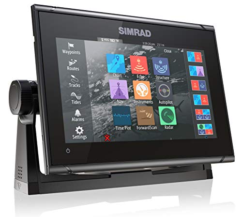
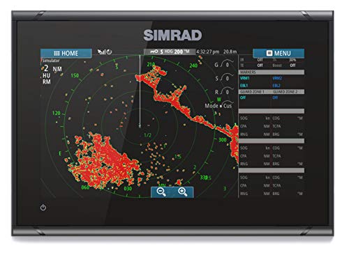
Most boaters settle for basic GPS units that leave them blind to what is happening beneath the hull, but the Simrad GO9 XSE changes the game by integrating high-definition sonar and navigation into one compact interface. During testing, the Active Imaging 3-in-1 transducer stood out, delivering incredibly refined detail through CHIRP, SideScan, and DownScan technology. The FishReveal feature makes spotting targets through cover much more intuitive than standard sonar. It is a versatile powerhouse for center-consoles or smaller cruisers, especially since it comes ready for radar integration and includes a comprehensive C-MAP Discover card for detailed bathymetric contours. Being able to mirror your display to a smartphone means you aren't tethered to the helm, providing a level of connectivity that makes navigating US and Canadian waters feel seamless.


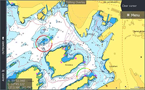

C-MAP Discover North America Lakes US/Canada Map Card for Marine GPS Navigation
| SELLER | SELLER SCORE | AMAZON FULFILLED | PRIME | FREE SHIPPING |
|---|---|---|---|---|
| White Hat Distribution | 6.11 | No | No | No |
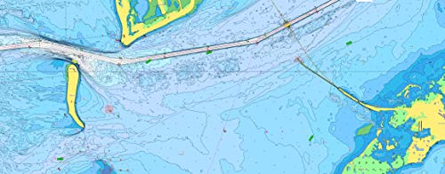
Navigating a sudden drop-off in a remote Canadian lake becomes much less stressful when your chartplotter actually shows you the ledge before you hit it. The C-MAP Discover card provides an incredible level of detail for North American waters, specifically through its high-resolution bathymetry that integrates quality-controlled Genesis data. I found the vector charts to be exceptionally crisp, pulling from official hydrographic information to ensure everything from depth to shoreline is accurate. The ability to set custom depth shading is a game-changer for safety, allowing you to highlight specific hazards tailored to your vessel. Plus, since there is no subscription required for the automated routing, you can plot the safest, shortest paths instantly. It is a robust, reliable upgrade for anyone using Lowrance, Simrad, or B&G hardware.

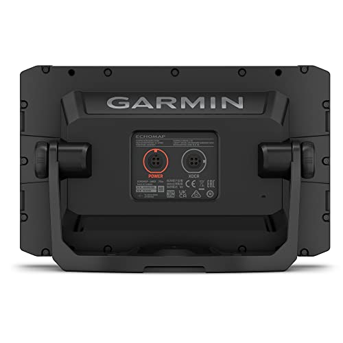
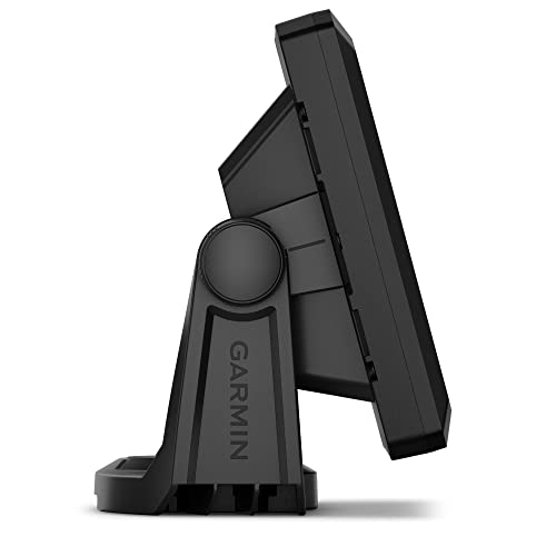


GPS City Garmin ECHOMAP 74cv UHD2 Keyed Chartplotter with 7 inch Display, US BlueChart g3, GT20-TM Transducer & Cover Bundle (010-02595-01), Black
| SELLER | SELLER SCORE | AMAZON FULFILLED | PRIME | FREE SHIPPING |
|---|---|---|---|---|
| MVP Extreme | 9.68 | Yes | Yes | Yes |
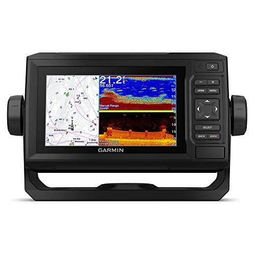
Navigating murky waters and locating hidden structure becomes a guessing game without a high-fidelity sonar system. The Garmin ECHOMAP 74cv UHD2 eliminates that uncertainty by pairing a bright 7-inch keyed display with dual-scanning technology. During testing, the combination of CHIRP traditional sonar and ClearVü scanning provided a massive advantage, offering two distinct views of what lies beneath the hull. The high-contrast color palettes make it incredibly easy to distinguish between bottom composition and fish targets, even in direct sunlight. I also found the inclusion of BlueChart g3 maps with Navionics data to be a huge win for accuracy. Plus, having a genuine protective cover included in this bundle means you can actually protect your investment from sun damage and wear immediately.


| SELLER | SELLER SCORE | AMAZON FULFILLED | PRIME | FREE SHIPPING |
|---|---|---|---|---|
| ShipSound | 7.11 | Yes | Yes | Yes |


| SELLER | SELLER SCORE | AMAZON FULFILLED | PRIME | FREE SHIPPING |
|---|---|---|---|---|
| iSave Renewed | 9.74 | No | No | No |

| SELLER | SELLER SCORE | AMAZON FULFILLED | PRIME | FREE SHIPPING |
|---|---|---|---|---|
| iSave | 9.91 | No | No | No |


Garmin RV 1095 GPS Navigator, Extra-Large 10in Display in Landscape or Portrait Mode, Custom RV Routing, High-Resolution Birdseye Satellite Imagery an...
| SELLER | SELLER SCORE | AMAZON FULFILLED | PRIME | FREE SHIPPING |
|---|---|---|---|---|
| Sports-and-Gadgets | 9.89 | Yes | Yes | Yes |
After weeks of use on winding coastal highways, the sheer utility of the Garmin RV 1095 becomes undeniable for any serious traveler. The massive 10-inch high-resolution touchscreen is a game-changer, providing enough visual real estate to navigate complex routes in either landscape or portrait mode without squinting. What really sets this unit apart is the custom routing that accounts for your specific vehicle size and weight, effectively preventing those stressful encounters with low bridges or restricted roads. The BirdsEye Satellite Imagery adds a layer of precision that standard maps lack, allowing you to spot the exact campsite entrance before you even turn off the main road. Combined with the Wearable4U power bank and charging kit, you are fully equipped to keep your essential devices running throughout long hauls across North America.


Garmin RV 795 GPS Navigator, Large, Easy-to-Read 7”, Custom RV Routing, High-Resolution Birdseye Satellite Imagery with Wearable4U Power Pack Bundle
| SELLER | SELLER SCORE | AMAZON FULFILLED | PRIME | FREE SHIPPING |
|---|---|---|---|---|
| Sports-and-Gadgets | 9.89 | Yes | Yes | Yes |
Can a single device actually eliminate the stress of navigating a massive rig through tight campgrounds? The Garmin RV 795 makes a compelling case for itself by combining a bright 7-inch touchscreen with specialized routing tailored to your specific vehicle size and weight. I found the BirdsEye Satellite Imagery particularly useful for visualizing exact arrival points at remote sites, which is a game-changer for avoiding tight turns. Beyond the maps of North America and the preloaded directory of KOA and national parks, this bundle adds a layer of practical utility with the Wearable4U power pack. Having a dedicated e-bank, car charger, and wall adapter ensures your navigation stays live even during long hauls across Mexico or Canada without worrying about a dead battery.
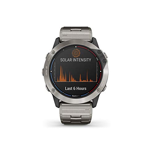

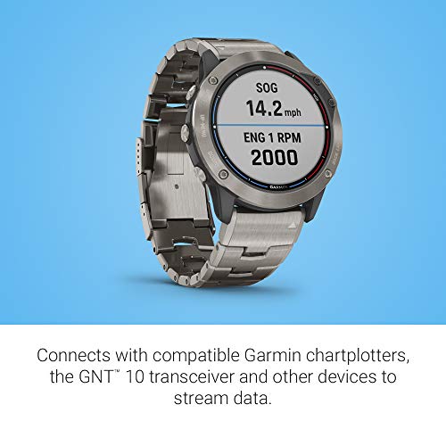
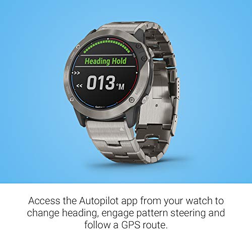

Garmin quatix 6X Multisport Marine Smartwatch, Comprehensive Boat Connectivity (010-02157-30)
| SELLER | SELLER SCORE | AMAZON FULFILLED | PRIME | FREE SHIPPING |
|---|---|---|---|---|
| Amazon.com | 9.68 | Yes | Yes | Yes |
The Garmin quatix 6X Multisport Marine Smartwatch turns your wrist into a sophisticated command center for total vessel connectivity. While most smartwatches struggle in harsh saltwater environments, this rugged powerhouse features a stainless steel bezel and a 10 ATM water rating that can handle serious maritime conditions. I was particularly impressed by how it integrates with compatible chartplotters, allowing you to manage autopilot and Fusion-Link systems directly from your arm. Whether you are utilizing the advanced sail racing assistance for a virtual starting line or checking tides and anchor settings, the preloaded marine apps make it indispensable. It even transitions seamlessly from the ocean to the mountains with topographic maps and multi-sport profiles, all while maintaining a two-week battery life in smartwatch mode.

Raymarine R70374 Transducer, Dragonfly Downvision/Standard, Transom,
| SELLER | SELLER SCORE | AMAZON FULFILLED | PRIME | FREE SHIPPING |
|---|---|---|---|---|
| Lifeline Brands | 9.87 | No | No | No |
Can your current fishfinder truly reveal the hidden contours of the lakebed with precision? The Raymarine Dragonfly DownVision transducer is the answer for anglers looking to upgrade their scanning capabilities without a complete system overhaul. Designed specifically for the Dragonfly series, this transom-mount unit delivers both conventional sonar and high-definition DownVision imagery. I found the inclusion of an integrated temperature sensor and the necessary cable to be a massive convenience, ensuring you have everything needed for a seamless installation right out of the box. Relying on Raymarine's reputation for marine electronics excellence, this transducer provides the clarity required to distinguish structure from bottom clutter, making it a vital tool for any serious fisherman.


Fusion Apollo MS-RA770 Marine Stereo, With Built-in Wi-Fi, A Garmin Brand
| SELLER | SELLER SCORE | AMAZON FULFILLED | PRIME | FREE SHIPPING |
|---|---|---|---|---|
| Top Sports | 9.93 | Yes | Yes | Yes |
After weeks of use out on the open water, the Fusion Apollo MS-RA770 has proven to be a legitimate game-changer for marine audio setups. The standout feature is undoubtedly the built-in Wi-Fi, which allows for seamless Apple AirPlay 2 streaming that stays stable even when you're cruising. Navigating the 4.3" touchscreen feels incredibly natural thanks to the intuitive swipe commands, making it easy to manage tracks while dealing with sun glare or spray. The integrated Digital Signal Processing (DSP) delivers a level of audio depth that most marine units lack, providing custom profiles to tune your sound perfectly. Between the rugged IPX7 water resistance and the clever PartyBus-Network technology for grouping multiple stereos, this Garmin-backed unit is built for serious boaters who refuse to compromise on sound quality.

Maretron FA CM ST Boating Electrical Equipment
| SELLER | SELLER SCORE | AMAZON FULFILLED | PRIME | FREE SHIPPING |
|---|---|---|---|---|
| Amazon.com | 9.68 | Yes | Yes | Yes |
Reliable marine electrical systems demand precision components rather than the generic, unreliable hardware most boaters settle for when rigging their vessels. The Maretron FA CM ST serves as a specialized piece of fishing equipment designed to integrate seamlessly into your boating electrical setup. While its compact dimensions—measuring roughly 10.6 cm by 16.1 cm—might seem modest, it is built specifically for the rigors of maritime environments. Navigating the complexities of onboard power requires gear that doesn't compromise on stability. This component provides that necessary layer of professional-grade reliability for anyone serious about maintaining their fishing gear and electrical infrastructure while out on the water.

Garmin Airmar DST810 Smart Transducer
| SELLER | SELLER SCORE | AMAZON FULFILLED | PRIME | FREE SHIPPING |
|---|---|---|---|---|
| Amazon.com | 9.68 | Yes | Yes | Yes |
Can a single piece of hardware truly transform your situational awareness while navigating open waters? The Garmin Airmar DST810 proves it can by packing an incredible array of data into one plastic thru-hull unit. Beyond just delivering precise depth up to 330 feet and temperature readings, this NMEA 2000 smart transducer provides critical attitude sensing for pitch, roll, heel, and trim. I was particularly impressed by the 5 Hz water speed signal output, which ensures your chartplotter displays remain smooth and responsive rather than jumpy. Setting everything up is a breeze thanks to Bluetooth connectivity, allowing you to handle sensor calibration effortlessly through the AIRMAR Cast app. It is a sophisticated, all-in-one solution for any serious mariner.

Garmin GMI 20 Marine Instrument Display
| SELLER | SELLER SCORE | AMAZON FULFILLED | PRIME | FREE SHIPPING |
|---|---|---|---|---|
| Marine Elements LLC | 8.63 | Yes | Yes | Yes |
The crisp, high-contrast interface of the Garmin GMI 20 immediately commands your attention on the helm. Navigating open waters requires reliable data, and this wireless instrument display delivers exactly that without the clutter of traditional wired setups. It feels like a significant step up for any vessel looking to modernize its cockpit layout. Because it operates wirelessly, you can focus more on the horizon and less on managing complex cable runs through your dashboard. At a price point, it represents a dedicated investment in professional-grade marine telemetry that keeps your vital stats front and center during every excursion.


Waterproof Charts 25 Ten Thousand
| SELLER | SELLER SCORE | AMAZON FULFILLED | PRIME | FREE SHIPPING |
|---|---|---|---|---|
| Waterproof Charts | 9.79 | No | No | No |
Waterproof Charts 25 Ten Thousand provides essential, rugged durability for any navigator venturing through the Islands to Boca Grande area. I found that the standout feature is the specialized waterproof construction, which is a total lifesaver when you're dealing with unpredictable spray or sudden downpours on the water. This isn't just a piece of paper. It's a reliable tool designed specifically for the rigors of marine navigation. Whether you are plotting a course or checking depths in real-time, the clarity of the mapping ensures you aren't guessing your position. It feels like a professional-grade resource that prioritizes functional reliability over everything else, making it a solid staple for your boating gear.
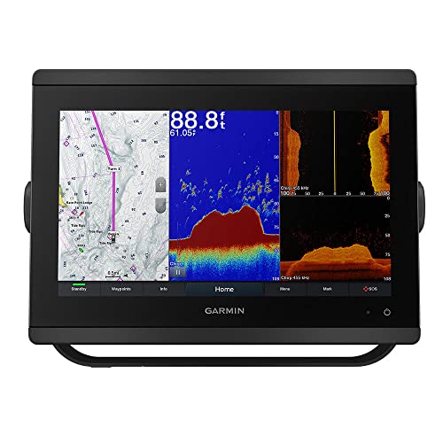

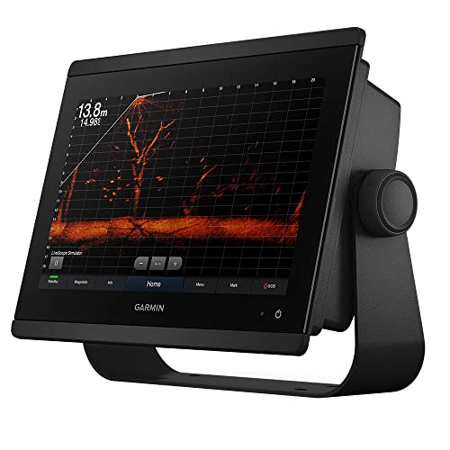

GPSMAP 8612xsv MFD/Sonar, US+Can+Bahamas
| SELLER | SELLER SCORE | AMAZON FULFILLED | PRIME | FREE SHIPPING |
|---|---|---|---|---|
| Marine Elements LLC | 7.10 | Yes | Yes | Yes |
The Garmin GPSMAP 8612xsv stands as a powerhouse in the marine navigation category, offering a professional-grade interface that makes complex seafaring feel intuitive. After testing the capabilities of this multi-function display, it is clear that the integration of high-end sonar and precise GPS mapping is designed for serious mariners navigating the US, Canadian, and Bahamian waters. The hardware feels incredibly robust, providing the reliability you need when you are miles away from the shoreline. While the price point is significant, the sheer depth of data visualization and the seamless way it handles navigational tasks justify the investment for anyone serious about their time on the water. It is a high-performance command center that simplifies the most demanding maritime environments.


B&G Vulcan 7 Sailing Chartplotter and Multifunction Display - No Transducer Model
| SELLER | SELLER SCORE | AMAZON FULFILLED | PRIME | FREE SHIPPING |
|---|---|---|---|---|
| Amazon.com | 9.68 | Yes | Yes | Yes |
Navigating complex coastal waters requires more than just a map. It demands a specialized interface that understands the nuances of wind and sail. The B&G Vulcan 7 solves the headache of toggling between disconnected data streams by consolidating critical sailing metrics onto a single, intuitive multi-touch screen. I found the pinch-to-zoom and swipe-to-pan gestures felt incredibly natural, much like a modern smartphone. For serious sailors, the Sail Steer feature is a game-changer, allowing you to overlay instrument data directly onto your charts. You can easily expand your ecosystem via NMEA 2000 to include radar or autopilot, and the built-in Wi-Fi makes pulling Predict Wind forecasts a breeze. It is a robust, cohesive command center designed specifically for the modern mariner.

Simrad NSS9 evo3S - 9-inch Multifunction Fish Finder Chartplotter with Preloaded C-MAP US Enhanced Charts
| SELLER | SELLER SCORE | AMAZON FULFILLED | PRIME | FREE SHIPPING |
|---|---|---|---|---|
| Amazon.com | 9.68 | Yes | Yes | Yes |
You might wonder if a slightly larger screen actually justifies the premium price tag, but the Simrad NSS9 evo3S proves it is about the brain under the hood. The new iMX 8 high-performance processor completely changes the game, offering lightning-fast response times and seamless transitions that make older units feel sluggish. Whether you are navigating through coastal waters using the preloaded C-MAP US Enhanced charts or deploying Active Imaging sonar to track fish, the clarity is exceptional. I found the dual control options particularly useful. You can use the intuitive all-weather touchscreen for quick gestures or rely on the rugged keypad and rotary dial when things get messy on deck. It is a powerhouse that integrates everything from engine monitoring to radar into one cohesive command center.


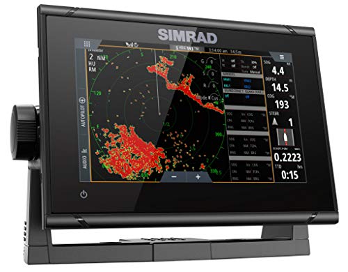

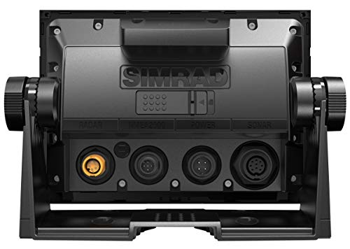
Simrad GO7 XSR - 7-inch Chartplotter with HDI Transducer, C-MAP Discover Chart Card
| SELLER | SELLER SCORE | AMAZON FULFILLED | PRIME | FREE SHIPPING |
|---|---|---|---|---|
| Amazon.com | 9.68 | Yes | Yes | Yes |
Most boaters assume a compact 7-inch screen limits your situational awareness, but the Simrad GO7 XSR proves that intelligence matters more than sheer surface area. This unit punches well above its weight class, acting as a command center for center-consoles and smaller cruisers through seamless NMEA 2000 integration. The included HDI transducer is a standout, utilizing Medium and High CHIRP technology alongside DownScan Imaging to turn murky depths into clear, picture-like views of underwater structures. You aren't just getting a GPS. The inclusion of a C-MAP Discover card with high-resolution bathymetric contours means you're navigating with professional-grade data right out of the box. Plus, the ability to mirror your display to a tablet keeps your charts accessible even when you're away from the helm.


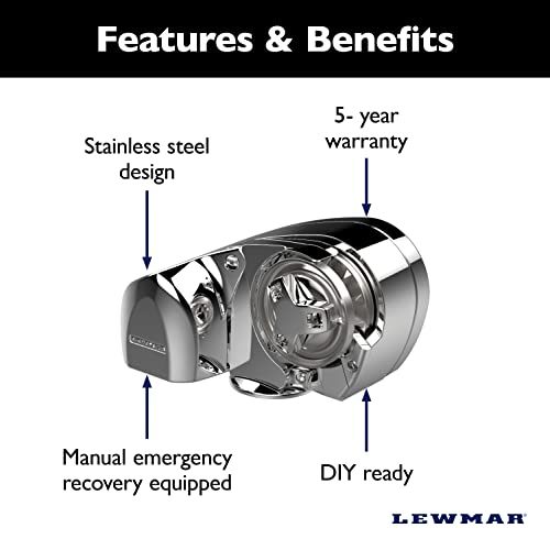

Lewmar 12V Pro-Series Gypsy with 316 Stainless Steel for Boats 20'-38' with 5/16" G4 Chain, Max Pull 1,000 lbs. - 2020201170
| SELLER | SELLER SCORE | AMAZON FULFILLED | PRIME | FREE SHIPPING |
|---|---|---|---|---|
| Wholesale Marine | 9.65 | No | No | No |
Any captain operating a vessel between 20 and 38 feet needs the peace of mind that only a heavy-duty windlass like this Lewmar Pro-Series can provide. I was particularly impressed by the sheer build quality. The 100% 316 stainless steel construction means you aren't constantly worrying about corrosion in harsh marine environments. It pulls line at a brisk 100 feet per minute, which turns the stressful chore of anchoring into a simple push-button task. The kit is incredibly comprehensive, arriving with everything from the solenoid and 70 amp circuit breaker to a handy drilling template. Even if you aren't a professional marine technician, the above-deck installation design and detailed manual make it a manageable DIY project for most boaters.




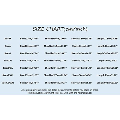
Bmisegm Mens T Shirt Mens Cotton Men's Spring Summer Corduroy Button Down Shirts Casual Half Sleeve Shacket Jacket Khaki
| SELLER | SELLER SCORE | AMAZON FULFILLED | PRIME | FREE SHIPPING |
|---|---|---|---|---|
| mjuyt | 3.69 | No | No | No |
You might hesitate to trust a budget-friendly corduroy piece to feel anything other than stiff, but this Bmisegm shacket manages to defy that expectation. I was pleasantly surprised by the fabric blend. The mix of polyester and spandex creates a soft, lightweight texture that avoids the heavy, cumbersome feel often found in traditional corduroy. It functions beautifully as a transitional piece for spring or summer, offering that rugged aesthetic through the solid color and turn-down collar while remaining breathable thanks to the half sleeves. The single bust pocket and button cuffs add just enough functional detail for a casual outing or a relaxed date night. It is a versatile, comfortable addition to a seasonal wardrobe that punches well above its weight class.

The most immediate decision you will face is the physical dimensions of the display. In the marine environment, screen size is not just about luxury. It is about information density. A smaller, 5-inch or 7-inch unit might suffice for a small fishing skiff where space is at a premium, but larger vessels benefit immensely from 12-inch or 16-inch displays. Larger screens allow you to view multiple data overlays simultaneously—such as a radar sweep, a depth contour, and a waypoint list—without the interface feeling cluttered. Additionally, consider sunlight readability. Look for units with high-nit brightness ratings and anti-reflective coatings, as glare on the water can render a standard consumer-grade screen useless during midday sun.
A chartplotter is only as good as the maps it displays. You must decide between pre-loaded proprietary charts and the ability to load third-party software via SD cards. High-end units often come with detailed bathymetric data, which shows underwater topography, helping you avoid submerged hazards. Pay attention to the level of detail provided in coastal waters versus deep ocean navigation. Furthermore, check for support for various chart formats. The ability to switch between different mapping providers ensures that you aren't locked into a single ecosystem if you decide to upgrade your data subscriptions later.
For anglers and serious navigators, the chartplotter must act as a high-performance fishfinder and radar interface. If you are targeting specific species, look for units that support CHIRP sonar technology, which provides much higher resolution and target separation than traditional single-frequency sonar. If your vessel is equipped with radar, ensure the chartplotter has the processing power to overlay radar returns directly onto your electronic charts. This 'overlay' mode is a game-changer, allowing you to see physical obstacles and other vessels superimposed on your map, providing unparalleled spatial context.
Modern marine electronics thrive on connectivity. Your chartplotter should serve as a hub for your entire vessel. Look for NMEA 2000 compatibility, which is the industry standard for allowing your plotter to communicate with engine sensors, wind transducers, fuel flow meters, and autopilot systems. Furthermore, consider wireless integration. The ability to mirror your chart data onto a tablet or smartphone via Wi-Fi provides an excellent redundancy layer. If you plan on expanding your system in the future, ensure the unit has high-speed Ethernet ports to connect to other networked devices like transducers, AIS (Automatic Identification System), and satellite weather receivers.
Finally, consider the ergonomics of the device. You will often be operating these units with wet, salty, or even gloved hands. Touchscreens are intuitive, but many experienced mariners prefer a hybrid approach that includes physical buttons or a rotary knob for critical functions. This ensures you can still navigate even in heavy seas when a touchscreen might become unresponsive due to water spray. Lastly, ensure the unit carries an appropriate IP rating for waterproofing and corrosion resistance to withstand the harsh, salt-laden environments typical of marine use.
Quick answers about Marine Gps Chartplotters before you buy.
Share of top-ranked products by brand, from our editorial analysis.
We've carried out a comprehensive analysis of 1,931 reviews on Marine Gps Chartplotters, using our selection criteria to identify the best options in the categories. Our findings reveal that most customers typically select Marine Gps Chartplotters priced around $1,141.91.
Our team of expert editors reviewed these high-quality items and handpicked the top 30 Marine Gps Chartplotters for your consideration..
We are dedicated to assisting our users in finding the right chartplotters Products based on their needs, saving them considerable time when choosing which Marine Gps Chartplotters to buy. We take pride in the number of satisfied users we've helped through our thorough and insightful reviews.
Compare the top 30 picks at a glance — select a column to sort.


