#TOP1

Navigating the wilderness requires more than just a sense of direction. It requires reliable, high-contrast data that remains legible under the harshest sunlight. LCD handheld GPS units have evolved from simple coordinate displays into sophisticated mapping computers capable of layering topographic data, satellite imagery, and trail networks. Whether you are a backcountry hiker, a maritime navigator, or a geocaching enthusiast, choosing the right handheld unit is a decision based on the balance between screen visibility, battery longevity, and data depth.
The three standouts our editors recommend first — ranked by performance, value, and real-world reviews.


Bad Elf 2200 GPS Pro (Black/Silver)
| SELLER | SELLER SCORE | AMAZON FULFILLED | PRIME | FREE SHIPPING |
|---|---|---|---|---|
| PriceGrab | 9.90 | Yes | Yes | Yes |
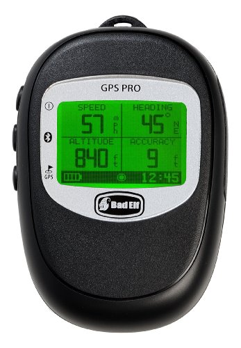
The Bad Elf 2200 GPS Pro sets a high bar for mobile precision with its incredibly fast 10Hz reporting rate. I found that this isn't just a simple accessory. It is a heavy-duty tool designed for serious data collection. You can connect up to five devices simultaneously via Bluetooth, making it a versatile hub for teams using various iOS hardware. The large, backlit LCD screen is a lifesaver when you're working in low-light conditions, and the standalone datalogger capability means you can store over 100 hours of tracking data even if your mobile device isn't tethered. Between the rugged IPX4 splash-proof build and the extra-long battery life, this unit feels ready for demanding outdoor environments where reliability is non-negotiable.


Garmin eTrex 22x, Rugged Handheld GPS Navigator, Black/Navy
| SELLER | SELLER SCORE | AMAZON FULFILLED | PRIME | FREE SHIPPING |
|---|---|---|---|---|
| Amazon.com | 9.68 | Yes | Yes | Yes |
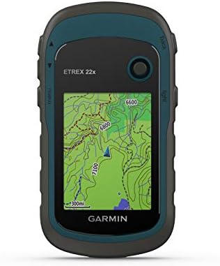
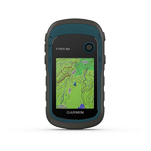
The Garmin eTrex 22x stands as a reliable cornerstone for outdoor enthusiasts who need dependable navigation without the fragility of a smartphone. This rugged handheld device excels in the field thanks to its dual GPS and GLONASS satellite support, which ensures you stay on track even when the canopy gets thick or the terrain gets tough. The 2.2-inch color display remains surprisingly readable under direct sunlight, making it easy to follow the preloaded Topo Active maps through winding trails or cycling routes. With 8 GB of internal memory and an expandable micro SD slot, you have plenty of room for extra topographical data. Plus, running on two AA batteries provides a solid 25 hours of tracking, so you won't be left searching for a power outlet in the middle of the woods.
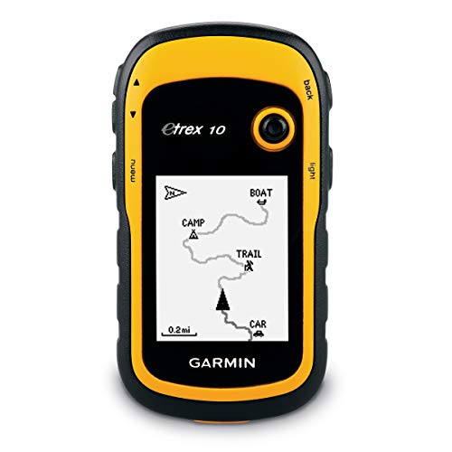


Garmin eTrex 10 Worldwide Handheld GPS Navigator
| SELLER | SELLER SCORE | AMAZON FULFILLED | PRIME | FREE SHIPPING |
|---|---|---|---|---|
| Amazon.com | 9.68 | Yes | Yes | Yes |
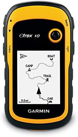
Deep in a dense forest canopy where cell signals go to die, the Garmin eTrex 10 becomes your most reliable companion. This rugged little navigator is built for the grit of real-world exploration, featuring a 2.2 inch monochrome display that remains readable even when things get messy. I found the dual support for GLONASS and WAAS incredibly helpful for maintaining a fast, reliable signal in tricky terrain. It handles splashes and heavy rain with ease thanks to its IPX7 waterproof rating, making it a perfect tool for paperless geocaching. You can even track high and low elevation points to better estimate your trek's distance and time. Running on two AA batteries for up to 20 hours, it’s a dependable, low-maintenance piece of gear for any serious hiker.

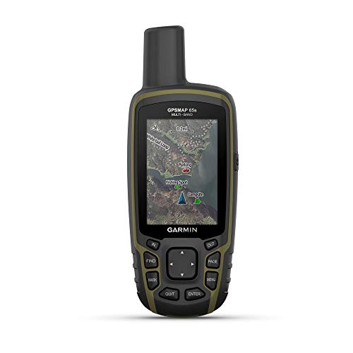

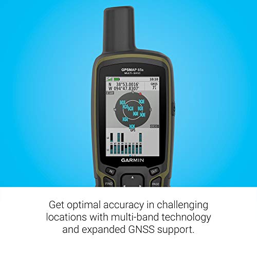

Garmin GPSMAP 65s, Button-Operated Handheld with Altimeter and Compass, Expanded Satellite Support and Multi-Band Technology, 2.6" Color Display
| SELLER | SELLER SCORE | AMAZON FULFILLED | PRIME | FREE SHIPPING |
|---|---|---|---|---|
| Amazon.com | 9.68 | Yes | Yes | Yes |
Signal loss in deep canyons and dense forest canopies is a navigator's worst nightmare, but the Garmin GPSMAP 65s tackles this uncertainty head-on. I found that the multi-band technology and expanded GNSS support provide a level of precision that standard handhelds often miss when the terrain gets difficult. The 2.6-inch color display remains remarkably clear even under direct sunlight, making it easy to follow routable TopoActive maps without squinting. Since it uses physical buttons rather than a touchscreen, it stays reliable in wet or muddy conditions. You also get a built-in 3-axis compass and barometric altimeter for reliable orientation, and the ability to sync everything via the Garmin Explore app makes managing your waypoints back at camp feel seamless.
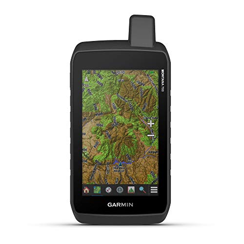

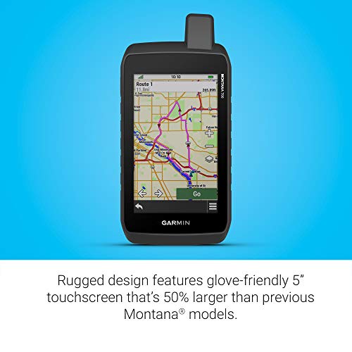


Garmin Montana 700, Rugged GPS Handheld, Routable Mapping for Roads and Trails, Glove-Friendly 5" Color Touchscreen
| SELLER | SELLER SCORE | AMAZON FULFILLED | PRIME | FREE SHIPPING |
|---|---|---|---|---|
| Amazon.com | 9.68 | Yes | Yes | Yes |
Navigating remote wilderness becomes a liability when your standard smartphone fails due to poor signal or harsh environmental conditions. The Garmin Montana 700 addresses this exact vulnerability with a rugged, MIL-STD 810-rated build that survives thermal shock, vibration, and water. I found the 5-inch touchscreen to be a massive upgrade, especially since it remains responsive even when you are wearing heavy gloves in the backcountry. By utilizing multi-GNSS support across GPS, GLONASS, and Galileo, the device maintains a precise lock on your position. The integration of a 3-axis compass and barometric altimeter provides the essential situational awareness needed for serious trail work, while the ability to sync via Bluetooth and Wi-Fi makes managing your waypoints through the Garmin Explore app incredibly seamless.
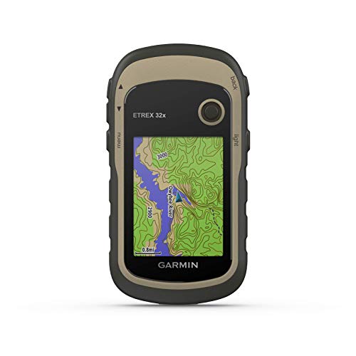


Garmin eTrex 32x, Rugged Handheld GPS Navigator
| SELLER | SELLER SCORE | AMAZON FULFILLED | PRIME | FREE SHIPPING |
|---|---|---|---|---|
| Amazon.com | 9.68 | Yes | Yes | Yes |
The Garmin eTrex 32x stands as a dependable cornerstone in the handheld GPS category, offering a rugged build that won't quit when the terrain gets tough. I found the 2.2-inch sunlight-readable color display to be a massive help when navigating bright trails, and the preloaded Topo Active maps make finding routable roads and hiking paths feel intuitive right out of the box. What really sets this version apart is the inclusion of a 3-axis compass and barometric altimeter, which provide much-needed precision in deep canyons or dense woods. Because it tracks both GPS and GLONASS satellite systems, you get much better reliability in challenging environments. With 8 GB of internal memory and a micro SD slot, you have plenty of room to expand your digital library for long-distance expeditions.
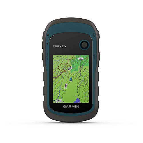


Garmin eTrex 22x, Rugged Handheld GPS Navigator (Renewed)
| SELLER | SELLER SCORE | AMAZON FULFILLED | PRIME | FREE SHIPPING |
|---|---|---|---|---|
| No | No | No |
The sunlight-readable color display on this Garmin unit immediately cuts through the glare of a midday trek, making it easy to read even in the harshest conditions. I found that having Topo Active maps preloaded takes much of the guesswork out of navigating complex trails or cycling routes. Because it tracks both GPS and GLONASS satellite systems, you get a level of reliability in deep canyons or heavy tree cover that standard devices often struggle with. The 8 GB of internal memory gives you plenty of room for essential data, but the micro SD card slot is the real winner for anyone looking to expand their mapping library. It is a rugged, dependable companion that feels built for the actual elements rather than just a casual walk.


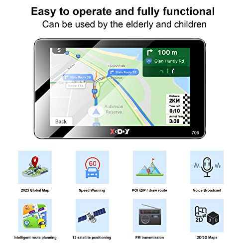


XGODY GPS Navigation for car 2.5D Screen 7 inch 2023 maps car GPS for car Truck GPS Commercial Drivers semi Trucker Navigation System 8GB 256M with Vo...
| SELLER | SELLER SCORE | AMAZON FULFILLED | PRIME | FREE SHIPPING |
|---|---|---|---|---|
| You Like US | 9.64 | Yes | Yes | Yes |
After weeks of use on long-haul routes, the XGODY 7-inch navigation system has proven to be a reliable co-pilot for professional drivers. The standout feature is definitely the 2.5D curved screen, which offers a much wider viewing angle and better light transmission than standard flat displays, making it easy to read even under direct sunlight. It is specifically tailored for commercial needs, allowing you to customize routes based on vehicle type to avoid dangerous height or weight restrictions. Whether you are driving a semi-truck, a bus, or a standard car, the intelligent system provides helpful speed warnings and identifies nearby gas stations and rest areas. With lifetime map updates included, this unit feels like a long-term investment for anyone navigating North America.


| SELLER | SELLER SCORE | AMAZON FULFILLED | PRIME | FREE SHIPPING |
|---|---|---|---|---|
| tian mei | 7.14 | Yes | Yes | Yes |
| SELLER | SELLER SCORE | AMAZON FULFILLED | PRIME | FREE SHIPPING |
|---|---|---|---|---|
| iSave Renewed | 9.55 | Yes | Yes | Yes |

Garmin GPSMAP 79sc, Marine GPS Handheld Preloaded With BlueChart g3 Coastal Charts, Rugged Design and Floats in Water
| SELLER | SELLER SCORE | AMAZON FULFILLED | PRIME | FREE SHIPPING |
|---|---|---|---|---|
| Amazon.com | 9.68 | Yes | Yes | Yes |
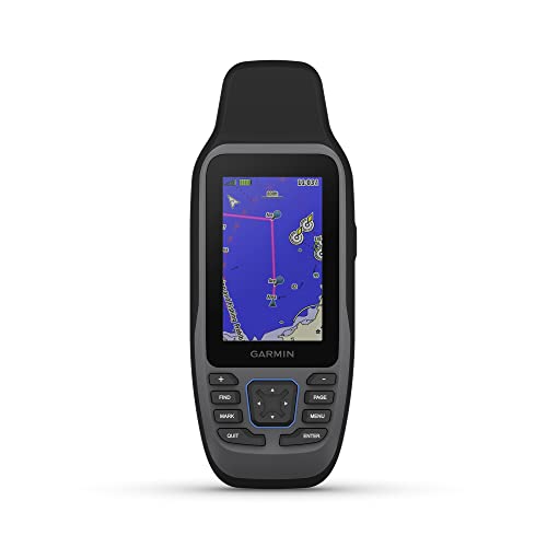
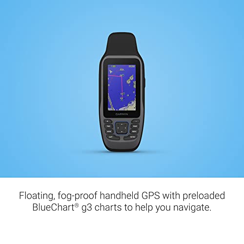
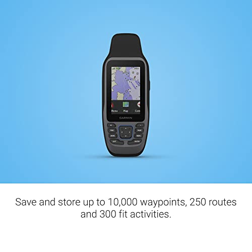
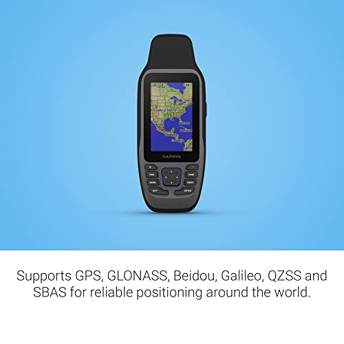
The Garmin GPSMAP 79sc is a lifesaver for mariners because it actually floats when it hits the water. I found the rugged, IPX6 water-resistant build incredibly reassuring during choppy coastal excursions, especially with that scratch-resistant, fogproof glass protecting the high-resolution display. It comes preloaded with BlueChart g3 coastal charts, which takes the guesswork out of navigation immediately. The tracking is impressively reliable thanks to support for multiple satellite constellations like GLONASS and Galileo, ensuring you aren't lost even in tricky environments. With a built-in 3-axis tilt-compensated electronic compass and a barometric altimeter for altitude tracking, this unit feels like a complete toolkit. Plus, the increased memory allows you to log a massive amount of waypoints and activities without running out of space.


Bushnell BackTrack Mini GPS Navigation, Portable Waterproof GPS for Hiking Hunting and Backpacking
| SELLER | SELLER SCORE | AMAZON FULFILLED | PRIME | FREE SHIPPING |
|---|---|---|---|---|
| I Live Outdoors | 9.67 | No | No | No |
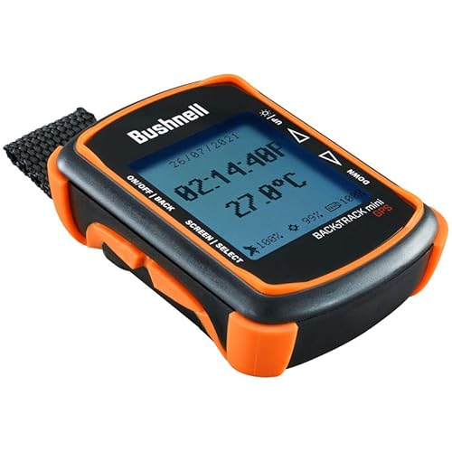
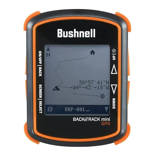
You are miles deep into a dense forest canopy when your smartphone suddenly loses signal and the battery hits zero. This is exactly where the Bushnell BackTrack Mini proves its worth as a dedicated lifeline for backcountry navigation. Unlike a phone, this rugged little device is built to withstand the elements and offers a reliable 35-hour battery life that won't quit on you mid-hike. I found the large, glove-friendly buttons incredibly intuitive for quick adjustments when the weather turns cold. Beyond just finding your way back to the trailhead, it tracks elevation, barometric pressure, and even provides sunrise and moonset times. It is a compact, waterproof essential that syncs your waypoints via Bluetooth, ensuring you never feel truly lost.



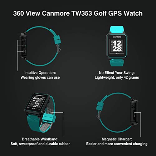
CANMORE TW353 Golf GPS Watch for Men and Women, High Contrast LCD Display, Free Update Over 40,000 Preloaded Courses Worldwide, Lightweight Essential...
| SELLER | SELLER SCORE | AMAZON FULFILLED | PRIME | FREE SHIPPING |
|---|---|---|---|---|
| CANMORE | 7.47 | Yes | Yes | Yes |
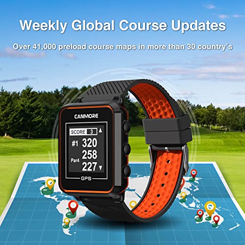
The CANMORE TW353 stands as a top-tier choice for budget-conscious golfers who prioritize data accuracy over flashy color screens. Instead of wrestling with complex menus, you get an intuitive experience that automatically detects nearby holes to provide instant distances to the front, middle, or back of the green. The high-contrast monochrome display is a standout, remaining perfectly legible even under the harshest midday sun. I particularly appreciate the lack of subscription fees. You get free biweekly updates for over 40,000 courses, which is a massive win for frequent travelers. It is lightweight and ergonomic, meaning you won't feel any extra weight on your wrist during your swing, while the sweatproof rubber strap handles a full round with ease.
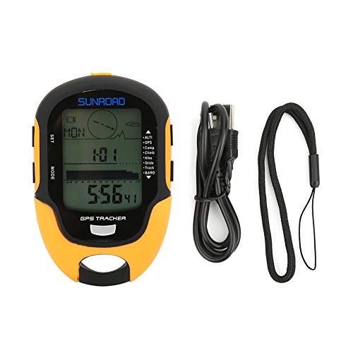


GPS Navigation Tracker Portable Handheld Digital Navigation Altitude Meter Temperature IPX4 Grade Waterproof
| SELLER | SELLER SCORE | AMAZON FULFILLED | PRIME | FREE SHIPPING |
|---|---|---|---|---|
| Moolong | 9.65 | Yes | Yes | Yes |
The Alomejor Handheld GPS is a rugged essential for any serious backcountry enthusiast needing reliable orientation. While many devices focus solely on position, this unit integrates a 16-azimuth electronic compass and detailed barometric data to provide a complete picture of your environment. I found the dual-system GPS compatibility and the ability to track nine sets of course reversal records particularly useful for navigating complex trails without getting turned around. It handles more than just coordinates. You get real-time temperature, humidity, and even a 24-hour air pressure trend curve. The side-mounted buttons make switching between the flashlight and altitude data incredibly intuitive, even when you are wearing gloves. For under fifty dollars, it packs a surprising amount of analytical depth for hikers and climbers.


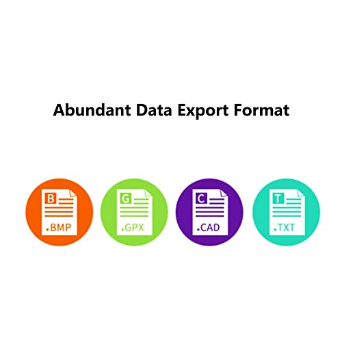
GPS Navigator Portable Handheld GPS Compass Location Tracker USB Rechargeable for Outdoor Hiking Traveling Hunting Wild Exploration AC110V US Plug
| SELLER | SELLER SCORE | AMAZON FULFILLED | PRIME | FREE SHIPPING |
|---|---|---|---|---|
| Mirandalong-US | 7.91 | No | No | No |
The Jeanoko handheld GPS navigator is a surprisingly versatile tool that bridges the gap between a simple hiking compass and a professional-grade field instrument. While most travelers just want to find their way home, this device excels by offering specialized utility for much more technical workflows. I found the ability to switch from standard navigation to specific tasks like acreage measurement for agriculture or area calculation for forestry planning to be a massive advantage for field professionals. Whether you are a geologist conducting water quality surveys, a fisherman marking precise coordinates, or a technician managing network base station locations, this rechargeable unit handles diverse data needs with ease. It feels like a rugged, multi-purpose companion for anyone whose work or hobby takes them deep into the wild.





| SELLER | SELLER SCORE | AMAZON FULFILLED | PRIME | FREE SHIPPING |
|---|---|---|---|---|
| PTHTECHUS-US | 5.60 | Yes | Yes | Yes |



| SELLER | SELLER SCORE | AMAZON FULFILLED | PRIME | FREE SHIPPING |
|---|---|---|---|---|
| PTHTECHUS-US | 5.60 | Yes | Yes | Yes |


| SELLER | SELLER SCORE | AMAZON FULFILLED | PRIME | FREE SHIPPING |
|---|---|---|---|---|
| PTHTECHUS-US | 5.60 | Yes | Yes | Yes |


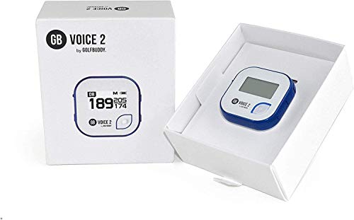


GolfBuddy Clip on Voice 2 Golf Navigation GPS for Hat/GPS and Laser Rangefinder, 14 Hours Battery Life, Water Resistant with Lifetime Free Courses and...
| SELLER | SELLER SCORE | AMAZON FULFILLED | PRIME | FREE SHIPPING |
|---|---|---|---|---|
| UMMA GOLF | 9.75 | Yes | Yes | Yes |
You are standing on a narrow fairway with a tricky approach shot ahead, and instead of fumbling with a bulky device, you simply glance at the tiny screen clipped to your hat. The GolfBuddy Clip on Voice 2 is designed for golfers who want hands-free precision without the distraction of a smartphone. I found the dual-mode utility incredibly helpful. You can rely on the clear 1-inch LCD for a visual green view or use the adjustable audio guidance to hear distances to the front, middle, and back of the green. With 14 hours of battery life, it easily handles a full day of play, and the QZSS GPS reception keeps your data accurate. It is a lightweight, rugged little tool that makes navigating over 40,000 global courses feel seamless.


Garmin Foretrex 401 Waterproof Hiking GPS
| SELLER | SELLER SCORE | AMAZON FULFILLED | PRIME | FREE SHIPPING |
|---|---|---|---|---|
| TE Distribution | 5.61 | Yes | Yes | Yes |
The Garmin Foretrex 401 dominates difficult terrain with its high-sensitivity GPS receiver and HotFix technology. I found that this device performs exceptionally well when you are tucked under heavy tree cover or navigating deep, narrow canyons where other signals might fail. The 1.42 x 0.91 inch LCD display is easy to read, especially when utilizing the TracBack feature to retrace your exact steps. It is a rugged tool that packs a punch, offering a barometric altimeter, electronic compass, and even sunrise/sunset data. Since it runs on two standard AAA batteries, you never have to worry about proprietary charging cables in the backcountry. Whether you are tracking a massive 10,000-point track log or checking your heart rate via an add-on monitor, this handheld unit provides the reliable navigation essential for serious outdoor expeditions.


Golf Buddy Voice 2 SE+ Talking GPS Rangefinder, 18 Hours Battery Life Golf Distance Range Finder, Preloaded with 40,000 Worldwide Courses, Easy-to-use...
| SELLER | SELLER SCORE | AMAZON FULFILLED | PRIME | FREE SHIPPING |
|---|---|---|---|---|
| UMMA GOLF | 9.75 | Yes | Yes | Yes |
Miscalculating distances to the green can ruin an entire round, but the Golf Buddy Voice 2 SE+ eliminates that guesswork by providing instant audio feedback. I found the ability to clip this tiny unit to a hat or belt incredibly convenient, as it lets you focus on your swing rather than fumbling with a handheld device. It delivers precise distances to the front, center, and back of the green, and the slope-adjusted feature is a game changer for tackling tricky elevations. With 40,000 preloaded courses and an impressive 18-hour battery life, you can play multiple rounds without worrying about a charge. The dual-mode display allows you to check the screen and listen to the voice guidance simultaneously, making it a seamless addition to your golf bag.
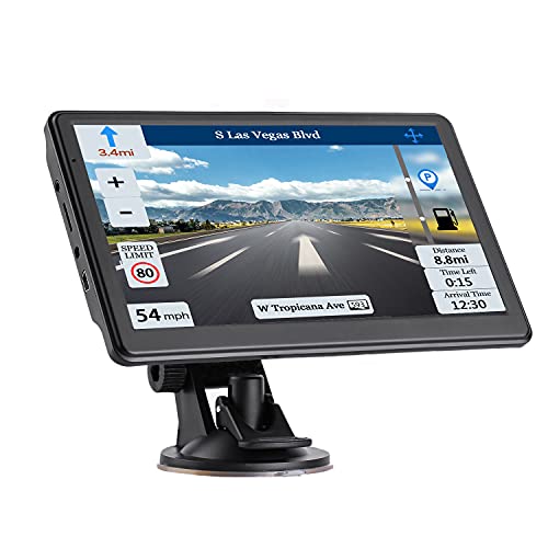


7-inch Car GPS Navigation GPS Navigation for Truck & RV & Car, Driver Alerts, Turn-by-Turn Directions, 2023 Map and Free Update Map
| SELLER | SELLER SCORE | AMAZON FULFILLED | PRIME | FREE SHIPPING |
|---|---|---|---|---|
| tian mei | 7.14 | Yes | Yes | Yes |
After weeks of use on long-haul highway stretches, the clarity of this JOGANVE navigation unit has become a genuine standout feature for my daily drives. The 7-inch TFT LCD screen is impressively bright at 500cd, meaning I never have to squint against direct sunlight to see my turn-by-turn directions. It feels snappy thanks to the high-performance CPU, and the tempered glass touch interface responds quickly to every tap. I especially appreciate the intelligent route planning that provides speed limit warnings and estimated arrival times, which helps keep my trips on schedule. While it comes with 8GB of internal storage, the ability to expand it up to 32GB ensures I have plenty of room for updated North American maps and other essential driving materials.

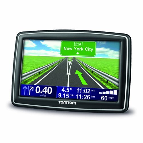


TomTom XXL 540S 5-Inch Widescreen Portable GPS Navigator (Discontinued by Manufacturer) (Renewed)
| SELLER | SELLER SCORE | AMAZON FULFILLED | PRIME | FREE SHIPPING |
|---|---|---|---|---|
| ZKarlo Renewed | 8.97 | No | No | No |
Most drivers settle for laggy smartphone apps that drain battery and lose signal, but the TomTom XXL 540S provides a dedicated, reliable alternative for serious road trips. The 5-inch widescreen TFT LCD display is bright and responsive, making it easy to follow Advanced Lane Guidance even in heavy traffic. What really sets this unit apart is the IQ Routes technology, which calculates your arrival time based on actual average travel speeds rather than just distance. Since this is a renewed unit, you get a high-end navigation experience with pre-loaded maps for North America and seven million points of interest without the premium price tag. The Fold and Go EasyPort mount also makes it incredibly simple to grab the device and head out without a cluttered dashboard.

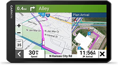


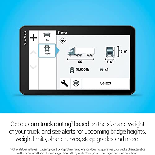
Garmin Dezl OTR710, Extra-Large, Easy-to-Read 7" GPS Truck Navigator, Custom Truck Routing, Birdseye Satellite Imagery with 8GB Micro SD Card, USB Car...
| SELLER | SELLER SCORE | AMAZON FULFILLED | PRIME | FREE SHIPPING |
|---|---|---|---|---|
| 6ave | 9.89 | No | No | No |
Navigating a massive rig through tight loading docks and low-clearance bridges becomes significantly less stressful once you have the Dezl OTR710 mounted on your dash. The 7-inch high-resolution touchscreen is incredibly crisp, making it easy to spot critical alerts for steep grades or sharp curves before they become hazards. I found the custom routing particularly impressive because it actually respects your specific vehicle weight and size, preventing those dreaded wrong turns. The BirdsEye Satellite Imagery is a total game-changer for arrival planning, allowing you to scout security gates and entrances from above. Plus, with the split-screen view, you can keep an eye on incoming weather conditions without ever losing sight of your active map. It truly feels like having a professional co-pilot sitting right next to you.
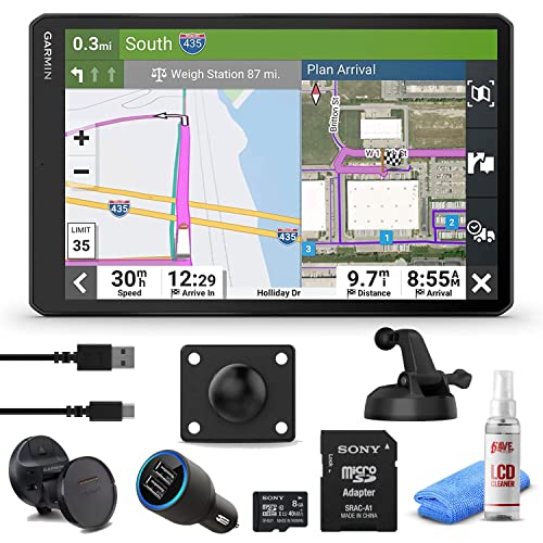


Garmin Dezl OTR810, Extra-Large, Easy-to-Read 8" GPS Truck Navigator, Custom Truck Routing, Birdseye Satellite Imagery with 8GB Micro SD Card, USB Car...
| SELLER | SELLER SCORE | AMAZON FULFILLED | PRIME | FREE SHIPPING |
|---|---|---|---|---|
| 6ave | 9.89 | No | No | No |
The Garmin dēzl OTR810 turns complex long-haul logistics into a streamlined experience through its massive 8-inch high-resolution touchscreen. Navigating a heavy rig becomes significantly less stressful when the device proactively alerts you to bridge heights, weight limits, and steep grades tailored to your specific vehicle dimensions. I found the BirdsEye Satellite Imagery particularly impressive for pinpointing exact loading docks and security gates before you even arrive. The split-screen view is a massive time-saver, allowing you to monitor weather and wind conditions without losing sight of your active map. Because this bundle includes a micro SD card and a car adapter, you are essentially ready to hit the road the moment it arrives in your cab.


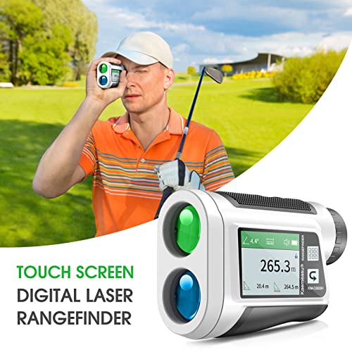
dsfen Golf rangefinder with LCD Touch Screen 6X Magnification 600M / 800M USB Rechargeable Range Finder Distance Meter with Speaker Slope Function Fla...
| SELLER | SELLER SCORE | AMAZON FULFILLED | PRIME | FREE SHIPPING |
|---|---|---|---|---|
| QinHuanjue | 4.05 | No | No | No |
Serious golfers who demand data-driven precision without the bulk of traditional handheld units will find the dsfen rangefinder to be a total game-changer. I was immediately struck by the vibrant LCD color touch screen, which makes navigating complex modes like area, volume, and two-point height measurements feel intuitive rather than a chore. The 6X magnification through the multi-coated lens delivers incredibly sharp resolution, while the haptic vibration feedback ensures you never miss a flag lock or slope adjustment. Whether you are calculating vertical angles or relying on the intelligent speaker to read distances aloud, this device handles everything with +/- 0.5m accuracy. It is compact enough to slip into a pocket, making it a versatile tool that extends far beyond the fairway into hiking or forestry work.
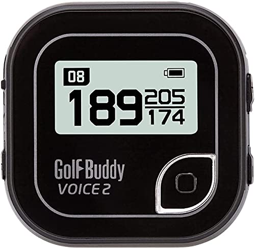
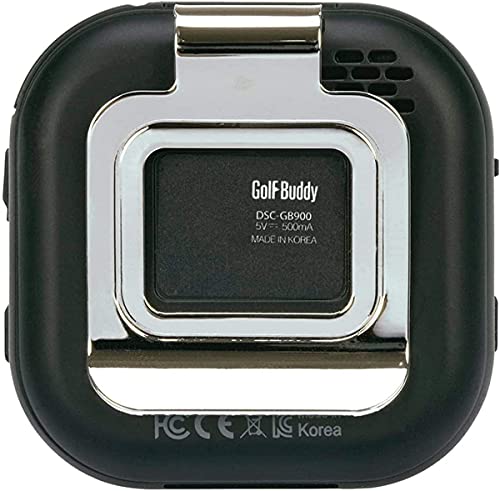


Golf Buddy Voice 2 Talking GPS Rangefinder, Long Lasting Battery Golf Distance Range Finder, Preloaded with 40,000 Worldwide Courses, Easy-to-use Golf...
| SELLER | SELLER SCORE | AMAZON FULFILLED | PRIME | FREE SHIPPING |
|---|---|---|---|---|
| RED TAB | 9.81 | Yes | Yes | Yes |
Most golfers assume they need a bulky handheld device to get accurate yardages, but the Golf Buddy Voice 2 proves that true precision can fit in the palm of your hand. This tiny clip-on unit is a game-changer for players who want to keep their eyes on the fairway rather than a screen. By hanging it from your hat or belt, you get instant audio feedback alongside a clear 1-inch LCD that shows distances to the front, middle, and back of the green. The QZSS GPS reception is remarkably snappy, and with 40,000 courses preloaded, you are essentially carrying a global database in your pocket. It even offers adjustable volume levels, making it easy to hear your distances without disrupting your playing partners.

The most critical component of an LCD handheld GPS is the screen itself. In outdoor environments, standard backlit screens often fail due to glare. When shopping, look for units that feature transflective displays. Unlike traditional screens that rely solely on a backlight, transflective technology uses ambient sunlight to illuminate the pixels, actually making the screen clearer as the sun gets brighter. For high-intensity activities, prioritize units with high-contrast modes that strip away color to provide crisp, black-and-white outlines of topographical lines, which are much easier to read when moving quickly through dense brush or steep terrain.
A GPS unit is only as useful as the maps it can display. Basic models may only show breadcrumb trails or simple waypoints, but serious navigators should look for units capable of handling multi-layered mapping. This includes the ability to toggle between topographic maps (showing elevation and contour lines), satellite imagery (providing real-world visual context), and street or trail maps. Check if the unit allows for custom map uploads or pre-loaded regional maps. The ability to zoom in and out smoothly without losing detail is a hallmark of a high-quality processor within the device.
Accuracy is non-negotiable when you are miles from the nearest trailhead. Modern handhelds should support multiple satellite constellations. While older units might only track a single system, premium models utilize multi-GNSS technology, pulling signals from various global satellite networks simultaneously. This significantly improves accuracy in challenging environments like deep canyons, heavy forest canopy, or urban corridors. Furthermore, look for units that offer 'multi-band' or 'dual-frequency' capabilities, which help mitigate signal interference caused by physical obstructions.
A handheld GPS is a piece of survival equipment, meaning it must be ruggedized. Look for an Ingress Protection (IP) rating that guarantees resistance to water and dust. A device that can survive a drop on granite or a sudden downpour is essential. Regarding power, consider how the unit manages energy. Some units use internal rechargeable lithium-ion batteries, which are convenient but can be a liability if you cannot recharge them in the field. Others utilize replaceable AA or AAA batteries, which offer the advantage of infinite runtime as long as you carry spares. For long-distance expeditions, the ability to run the device on external power banks via USB is a vital feature.
While touchscreens are becoming more common, many experienced outdoor professionals still prefer physical buttons. When wearing gloves or operating in wet conditions, touchscreens can become unresponsive or trigger accidental inputs. A hybrid approach—a high-resolution LCD paired with tactile, oversized buttons—is often the gold standard for reliability in extreme weather.
Quick answers about Lcd Handheld Gps Units before you buy.
Share of top-ranked products by brand, from our editorial analysis.
We've carried out a comprehensive analysis of 16,954 reviews on Lcd Handheld Gps Units, using our selection criteria to identify the best options in the categories. Our findings reveal that most customers typically select Lcd Handheld Gps Units priced around $219.82, with top brands including tracki, spy tec, garmin, bushnell, bad elf, alomejor, joganve, xgody and jeanoko and canmore.
Our team of expert editors reviewed these high-quality items and handpicked the top 27 Lcd Handheld Gps Units for your consideration. We've also done extensive research on numerous sellers, identifying the best ones in the categories category — including tracki, spytec gps, amazon.com, i live outdoors, pricegrab, moolong, tian mei, you like us and isave renewed and mirandalong-us.
We are dedicated to assisting our users in finding the right units Products based on their needs, saving them considerable time when choosing which Lcd Handheld Gps Units to buy. We take pride in the number of satisfied users we've helped through our thorough and insightful reviews.
Compare the top 27 picks at a glance — select a column to sort.


